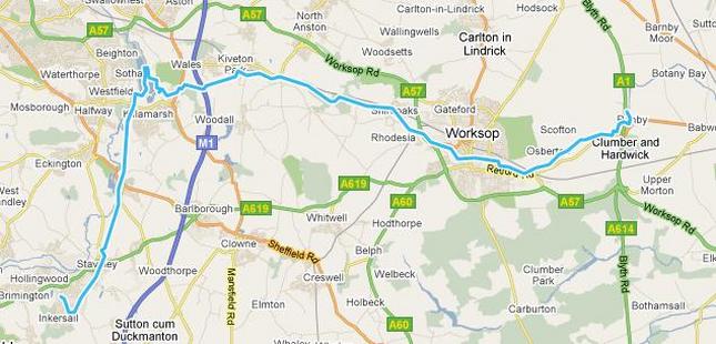
I had originally intended to start this walk from Retford, but with a late start due to watching the Quali for the 2011 F1 Chinese Grand Prix, and with plans for the evening, I got dropped off a few miles shorter, just outside Ranby, where there was easy access to the canal.
The intention was to follow the Chestefield Canal/ Cuckoo Way as far as Rother Valley, and hook up with the Transpennine Trail routes I have walked and biked before.
The intention was to follow the Chestefield Canal/ Cuckoo Way as far as Rother Valley, and hook up with the Transpennine Trail routes I have walked and biked before.
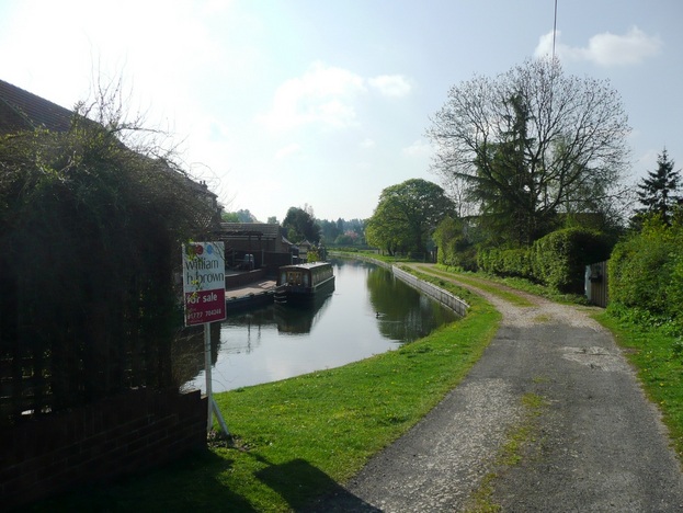
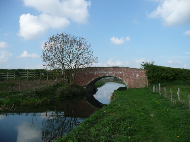
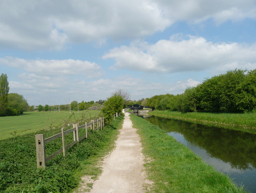
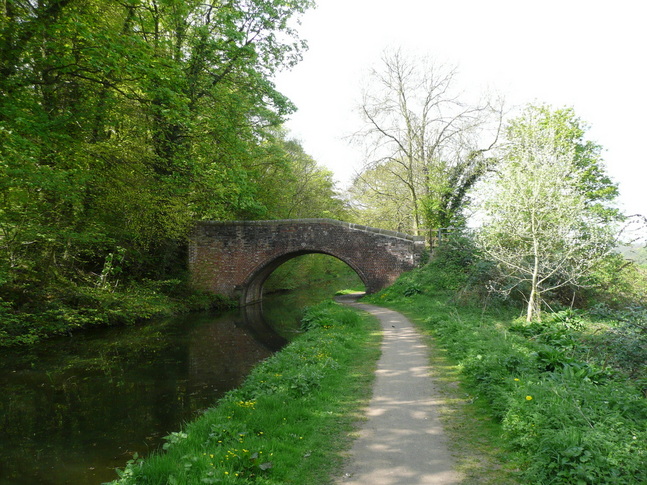
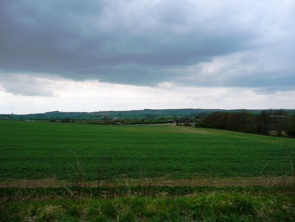
After a short stretch passing some well presented houses, I was out into attractive countryside with fields and brick-built bridges.
This stretch had a pleasing rural feel. I saw Heron, Canada Geese, and Lapwing.
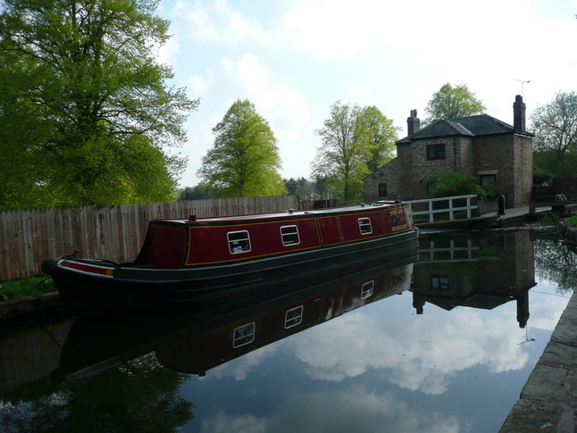
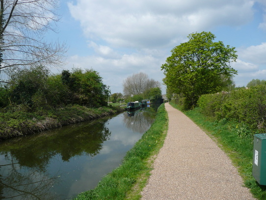
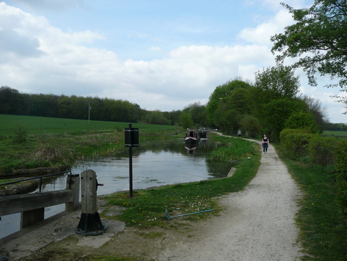
The canal is navigable along this stretch, with occasional locks. The tow path was grassy and uneven underfoot.
The canal is navigable along this stretch, with occasional locks. The tow path was grassy and uneven underfoot.
Eventually I approached the outskirts of Worksop, with fishermen on the banks as I started to pass car dealerships and industrial buildings.
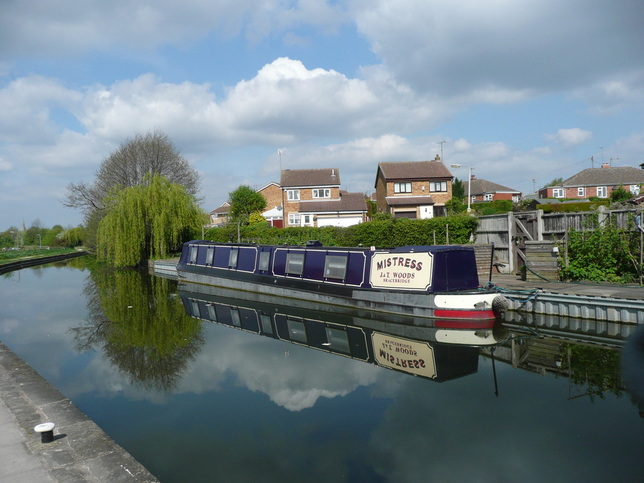
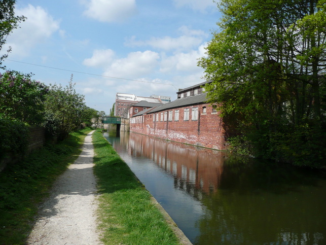
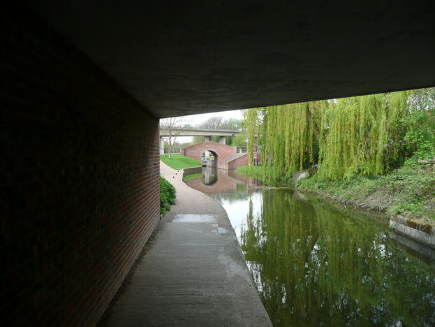
Things got a lot more urban as I edged up Canal Street towards the town centre. I've lived in some big cities, but never in my life have I seen discarded hyperdermics at the roadside. I was a little concerned about the underpass under the high street, but I was reassured by passing a family with young children, and decided to go for it. I hurried through, stooped under the road, and popped out by a new shopping centre.
I was soon heading out of town and back into the country.
I was soon heading out of town and back into the country.
The locks at Shireoaks have been restored, and the canal is very attractive pretty much all of the way to Kiveton Park.
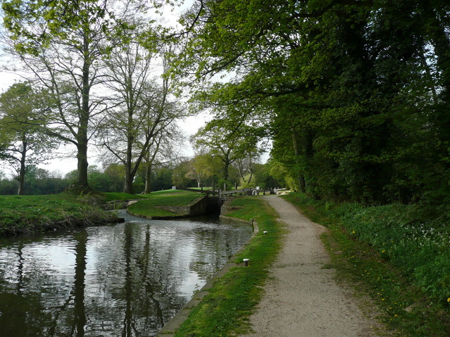
There were a number of narrowboats navigating the locks. The gates are held shut by water pressure until the levels equalise.
I'd walked further than I thought.
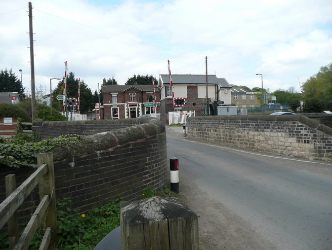
Soon I passed Kiveton Park station, and onto a short stretch of fisherman-filled canal which marked the end of the navigable section. The tunnel at Norwood is bricked up, and the path leaves the canal at this point.
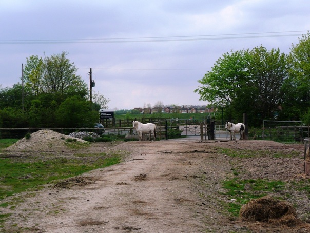
I had to "encourage" the horses out of the way to get out of the field, across the road, and onto Kiveton Waters.
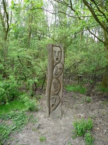
I can see what they tried to do with Kiveton waters. There are a load of fishing ponds there for the locals to come down to, and the rest of the old pithead is landscaped. It's nowhere near as successful as Poolsbrook. The toilets were locked up and there was obvious security, along with a warning sign that persons entering after dark did so at their own risk. Lovely.
I pressed on across the park, and struck out towards the M1.
I pressed on across the park, and struck out towards the M1.
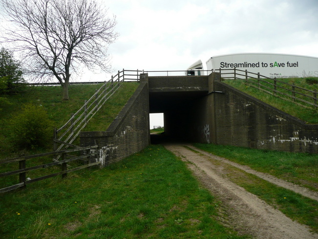
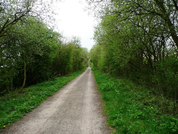
The path ran along the edge of a wood as disused railway, then eventually headed out over fields to an underpass under the M1.
From here I began to drop down towards Rother Valley Country Park. The path skirted woods an a series of ponds along a sort of "Millionaire's Row" with large, immaculately presented properties, and manicured lawns.
It felt odd, as if I was walking down their driveways. I had a strong sense of deja-vu, convinced that I had been here some years ago.
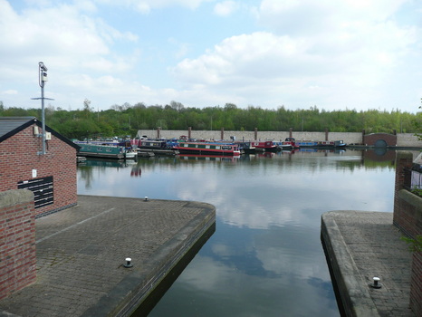
Eventually I reached the outskirts of Rother Valley, and after some navigation problems found my way towards the visitor centre.
It felt odd, as if I was walking down their driveways. I had a strong sense of deja-vu, convinced that I had been here some years ago.
Eventually I reached the outskirts of Rother Valley, and after some navigation problems found my way towards the visitor centre.
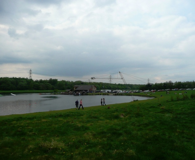
Rother Valley was chaos, largely filled with people who had no intention of moving more than 20ft from their car, and busily burning black rectangles into the grass with their disposable BBQs.
I knew where I was now - one of my early training walks was an easy ten-miler back from here on a Sunday morning.
I decided to get my head down and make some time up.
I knew where I was now - one of my early training walks was an easy ten-miler back from here on a Sunday morning.
I decided to get my head down and make some time up.
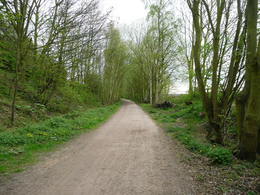
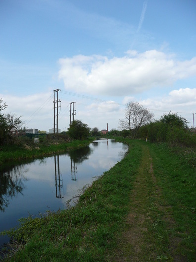
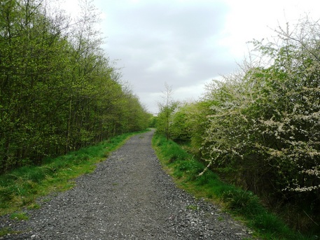
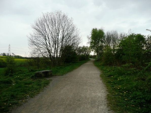
The Transpennine trail down to Staveley is along disused railway lines. It's good, solid paths, often edged with Silver Birch.
After racing a Shirehorse (!) down the TPT, I was soon home. Needed to resort to some pacy music, but I got home OK and in 7hrs 30. I did get a few blisters - blaming the Ron Hill socks for that.
Proper walking socks next time.
Proper walking socks next time.
 RSS Feed