I've always been very fond of Curbar Edge.
As a kid I was excited by tales of Roman Roads, scrambly rocks, and being told to keep away from the edge. As a teenager I climbed routes on the gritstone crags, and bouldered on the low rocks. I even slept out there overnight in a bivvy bag.
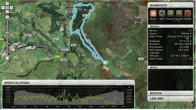
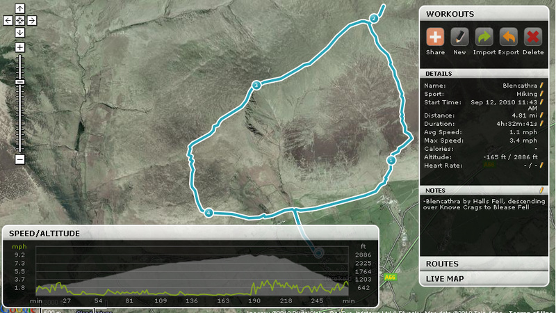
I usually walk the edge as a there-and-back walk, but having read a circular walk described in a number of walk books, and faced with a washout inaugural Korean Formula1 Grand Prix, I grabbed dog and walking gear, and headed out.
As a kid I was excited by tales of Roman Roads, scrambly rocks, and being told to keep away from the edge. As a teenager I climbed routes on the gritstone crags, and bouldered on the low rocks. I even slept out there overnight in a bivvy bag.
I usually walk the edge as a there-and-back walk, but having read a circular walk described in a number of walk books, and faced with a washout inaugural Korean Formula1 Grand Prix, I grabbed dog and walking gear, and headed out.
My intended walk is detailed on the Snap The Peaks site Here.
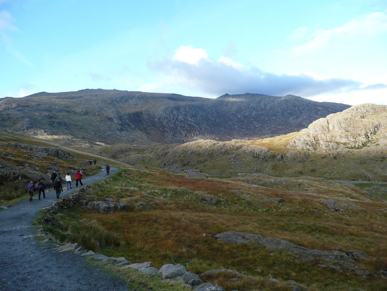
Curbar Gap carpark was pretty quiet when I got there around 9am. Frost still lying in the shade, clear blue skies, no wind. Beautiful weather for a walk. Sadly I had forgotten my camera, so was stuck with the iPhone.
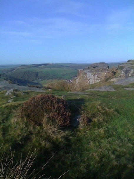
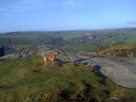
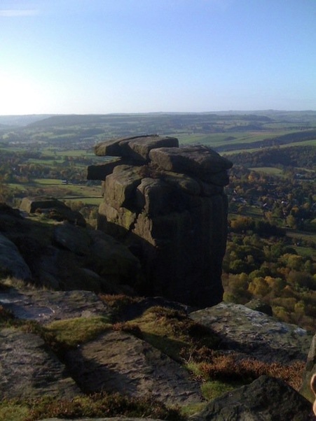
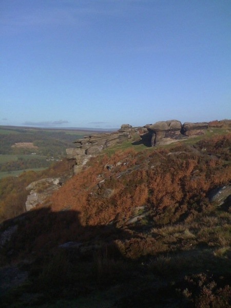
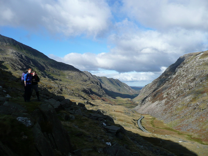
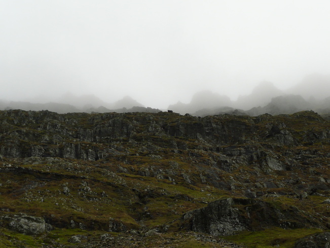
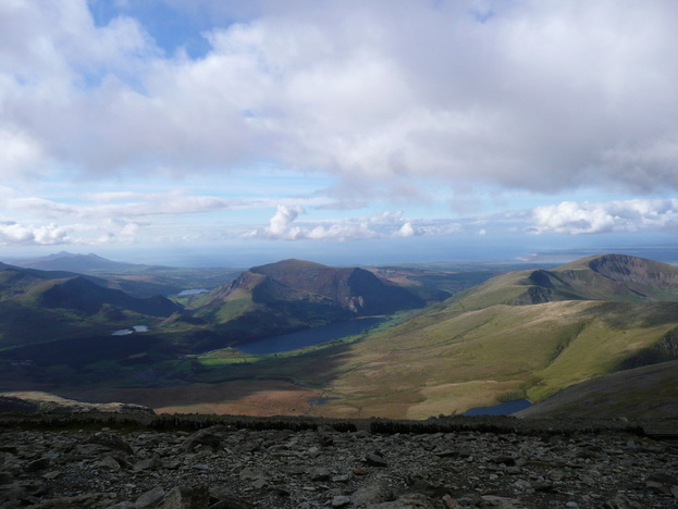
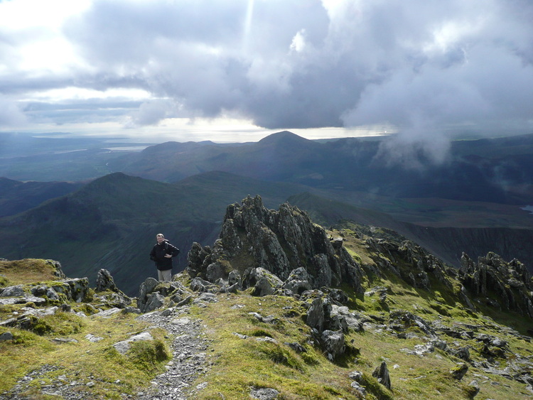
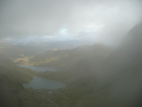
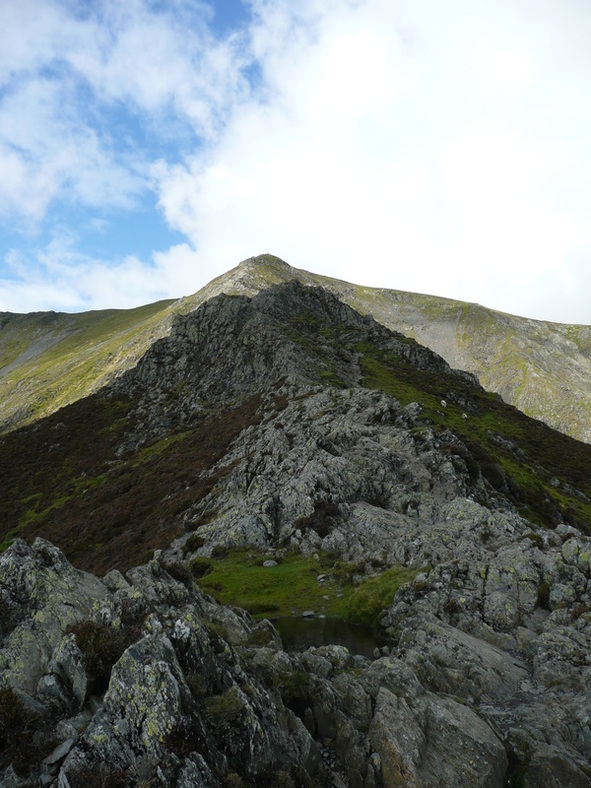
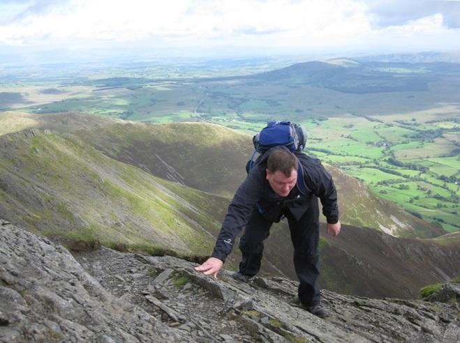
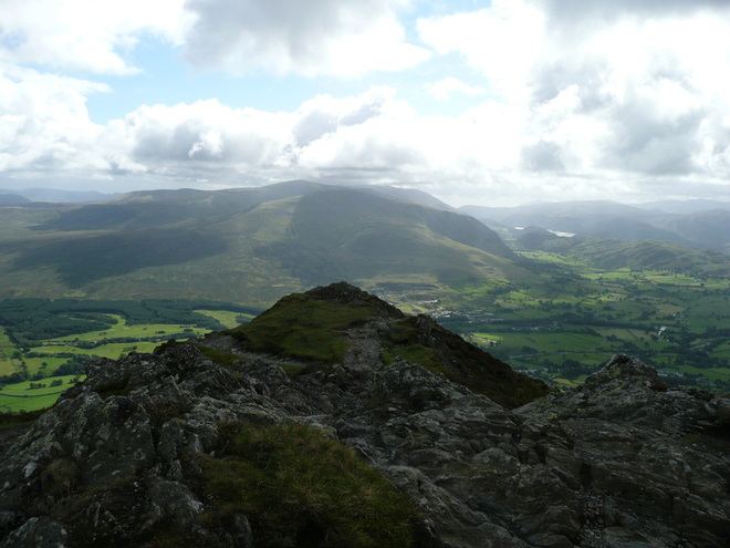
I wandered along Curbar then Frogatt Edges, following the Roman Road. This runs for about 2 miles, with views over the Peak District and ultimately across to Stanedge Edge and Carl Wark.
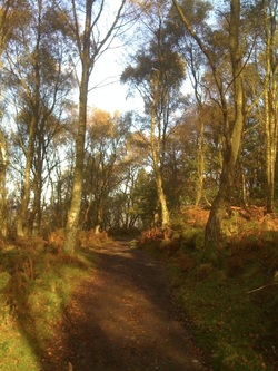
Eventually after passing a large rock by Froggatt Edge, the path dips a little, and enters a woodland of Silver Birch, then eventually drops down to the road at the edge of the Longshaw Estate.
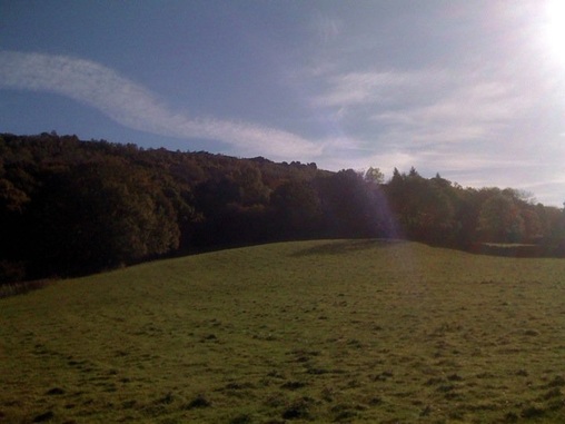
After crossing the road to the Haywood, we dropped steeply down the wooded valley to the bridge at Grindleford.
I got lost at this point. Hands up.
There is a sign on the left just before the bridge indicating that the path passes through a field. I entered the field, and given the choice between a muddy diagonal path and a gravelled riverside track, I took the river route. Mistake. The track ends at a Severn Trent building, and none of the gates at that end of the field lead further on.
Annoyingly, as soon as I realised my mistake, I remembered this had also happened last time I was down this way :( Retracing my steps, there is a muddy slither across to the edge of Horse Hay wood, and a nice cobbled path. We made good time and soon popped out into fields with a view up to Froggatt Edge.
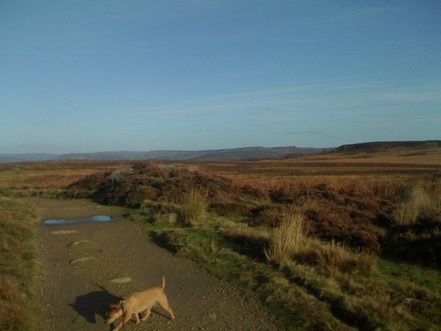
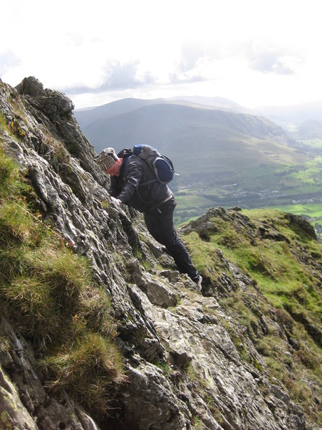
Confession time #2. I was fed up of muddy paths through fields with no views at this point. Faced with a roadway in Froggatt, I took the decision to head straight up the hill. A very narrow and steep public footpath took me back up to the road below the edge, which I crossed, and climbed to a path which runs parallel to the edge, along a wall.
I could hear the climbers above me, but could not see a good path up towards the bottom of the rocks. Eventually the woods thinned, and I was out among birch and bracken.
I could hear the climbers above me, but could not see a good path up towards the bottom of the rocks. Eventually the woods thinned, and I was out among birch and bracken.
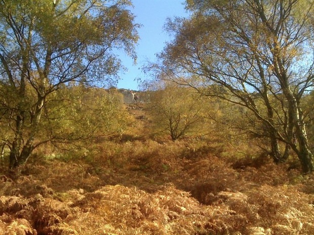
There were climbers visible on the edge between the trees. Again, kicking myself for forgetting the camera, here.
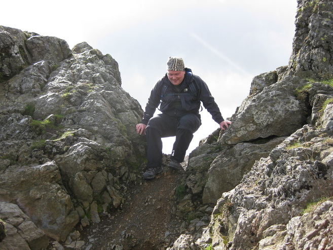
We were soon out among the rocks, and the dog took an interest in a "cave" formed by a few large slabs leaning against each other.
We were soon out among the rocks, and the dog took an interest in a "cave" formed by a few large slabs leaning against each other.
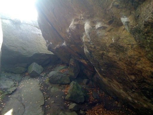
The chalk marks are from climbers "bouldering" - clambering about on tiny holds, inches from the ground, with a crash mat beneath. It's good fun and a great way to build technique, without having to faff about with ropes.
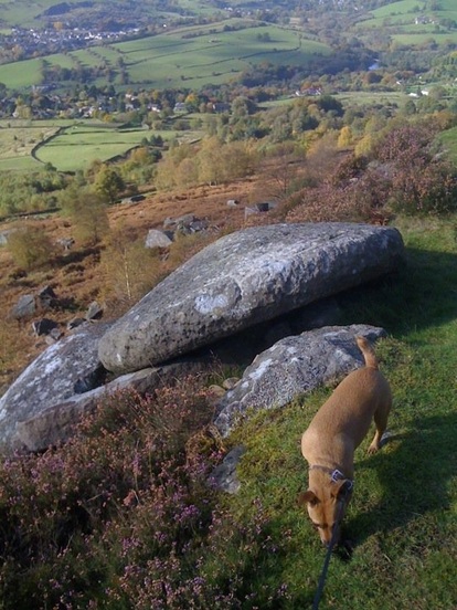
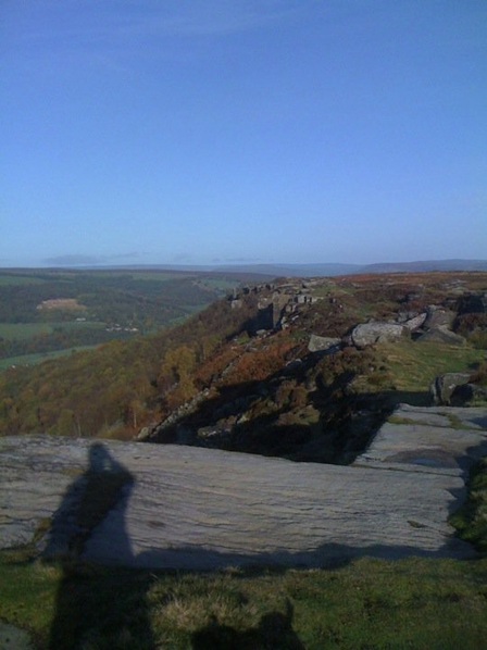
Passing a few abandoned millstones (it's not called "Millstone Grit" rock for nothing), we climbed back up to the edge by a climbers' descent path, and headed back to the car.
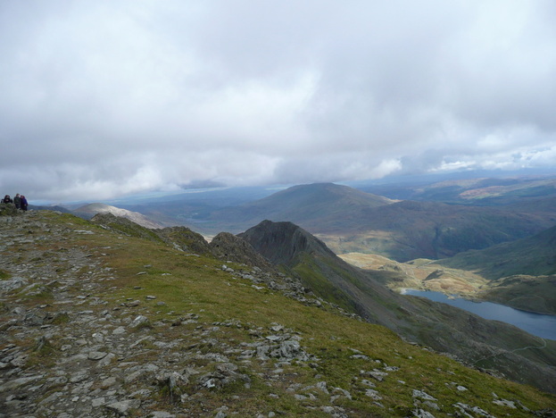
I think in future I'll stick to the top. I was wondering about extending up towards Carl Wark / Stanedge. That would be a much better route.
I think in future I'll stick to the top. I was wondering about extending up towards Carl Wark / Stanedge. That would be a much better route.
 RSS Feed