Picture
Picture
Picture
Upper Lathkill Dale is a crazed fantasy landscape of limestone cliffs and shattered rock.  The path is rocky and uneven underfoot, so I had no hope of hitting my intended pace, especially while gawping at the geology.
Picture
The path twists and turns between the crags.
Picture
A murder of crows wheeled overhead, adding to the atmosphere.
Picture
Come back in June :)
Picture
Picture
Sun came out about 10am, and beat down relentlessly for the rest of the day.
Picture
Picture
Picture
Picture
Picture
After a while I convinced myself that I could smell the sea. While struggling with this thought, I realised that the vegetation in the bottom of the valley was damp. Soon this formed the start of the river Lathkill.
Picture
Picture
Picture
The river rapidly grew in size and stature, passing over a number of waterfalls. Incredibly clear water - all the way down.
Picture
Picture
Camera's not really up to it at extreme zoom, but there was a Dipper playing in the waterfall.
Picture
The path really felt to be in the river.  There was a lot of birdlife in the woods. I could hear (but not see) a Woodpecker, and Chaffinches and a variety of tits flitted across the path.
Picture
Picture
There were a lot of mines and caves along this stretch, and it seemed more popular with walkers.
Picture
I made a navigational error at this point.  The guide I was following said to cross the bridge and follow the old pack horse route down to Alport.  I crossed a footbridge at a ford, and followed a rough track steeply uphill. Eventually I turned back, ego in tatters, as it was clearly wrong. To add insult to injury, a family I had steamed past were now once again ahead of me, and I had to "Hello again", as I went past.

Picture
Incredibly clear blue water, but I never saw any fish or Heron.
Picture
Picture
Picture
Crossing Conksbury Bridge there was a short period of road walking.
Picture
At Alport the river Lathkill converges with the Bradford at a red phone box, and I changed rivers to complete the loop back up towards Monyash.
Picture
Picture
The Bradford had a different character to the lower Lathkill, and I immediately warmed to it.
Picture
This impressive crag had climbers slings hanging from an obvious belaying point higher up. And lots of crows.
Picture
Jacobs (?) lambs keeping cool in the shade.
Picture
Picture
Picture
Picture

Eventually the Limestone Way crossed the river by some ruins, and climbed sharply by a zig-zag path up to Lomberdale Hall, a climb of nearly 1000ft.

Picture
Eventually the climbing came to an end. The Limestone Way cut across fields for a few miles back towards Monyash.
Picture
Impressive views back down towards Lathkill Dale
Picture
The path descends steeply into Cale Dale.   Not good - I could see it continued on the other side, at the height I was climbing down from...
Picture
Picture
Picture
The path came out in a farmyard. From there it was across fields and down a "green lane" back to the carpark just outside Monyash.
Picture
Picture
Picture
Picture
Picture
Given the late start, the need to finish early as I had things on in the afternoon, and the 1000+ft of ascent on a hot day, this walk was more strenuous than I had anticipated.  Very enjoyable outing, though, and I would like to return to upper Lathkill again.
Picture
 
I had originally intended to start this walk from Retford, but with a late start due to watching the Quali for the 2011 F1 Chinese Grand Prix, and with plans for the evening, I got dropped off a few miles shorter, just outside Ranby, where there was easy access to the canal.
The intention was to follow the Chestefield Canal/ Cuckoo Way as far as Rother Valley, and hook up with the Transpennine Trail routes I have walked and biked before.

Picture
After a short stretch passing some well presented houses, I was out into attractive countryside with fields and brick-built bridges.
Picture
This stretch had a pleasing rural feel. I saw Heron, Canada Geese, and Lapwing.
The canal is navigable along this stretch, with occasional locks. The tow path was grassy and uneven underfoot.
Picture
Eventually I approached the outskirts of Worksop, with fishermen on the banks as I started to pass car dealerships and industrial buildings.
Picture
Picture
Picture
Things got a lot more urban as I edged up Canal Street towards the town centre. I've lived in some big cities, but never in my life have I seen discarded hyperdermics at the roadside. I was a little concerned about the underpass under the high street, but I was reassured by passing a family with young children, and decided to go for it.  I hurried through, stooped under the road, and popped out by a new shopping centre.
I was soon heading out of town and back into the country.
Picture
Picture
Picture
The locks at Shireoaks have been restored, and the canal is very attractive pretty much all of the way to Kiveton Park.
Picture
Picture
Picture
There were a number of narrowboats navigating the locks. The gates are held shut by water pressure until the levels equalise.
Picture
Picture
I'd walked further than I thought.
Picture
Soon I passed Kiveton Park station, and onto a short stretch of fisherman-filled canal which marked the end of the navigable section.  The tunnel at Norwood is bricked up, and the path leaves the canal at this point.
Picture
I had to "encourage" the horses out of the way to get out of the field, across the road, and onto Kiveton Waters.
Picture
I can see what they tried to do with Kiveton waters.  There are a load of fishing ponds there for the locals to come down to, and the rest of the old pithead is landscaped. It's nowhere near as successful as Poolsbrook. The toilets were locked up and there was obvious security, along with a warning sign that persons entering after dark did so at their own risk. Lovely.
I pressed on across the park, and struck out towards the M1.
Picture
The path ran along the edge of a wood as disused railway, then eventually headed out over fields to an underpass under the M1.
Picture
Picture
From here I began to drop down towards Rother Valley Country Park.  The path skirted woods an a series of ponds along a sort of "Millionaire's Row" with large, immaculately presented properties, and manicured lawns.
It felt odd, as if I was walking down their driveways. I had a strong sense of deja-vu, convinced that I had been here some years ago.
Eventually I reached the outskirts of Rother Valley, and after some navigation problems found my way towards the visitor centre.
Picture
Picture
Rother Valley was chaos,  largely filled with people who had no intention of moving more than 20ft from their car, and busily burning black rectangles into the grass with their disposable BBQs.
I knew where I was now - one of my early training walks was an easy ten-miler back from here on a Sunday morning.
I decided to get my head down and make some time up.
Picture
Picture
The Transpennine trail down to Staveley is along disused railway lines. It's good, solid paths, often edged with Silver Birch.
Picture
Picture
Picture
After racing a Shirehorse (!) down the TPT, I was soon home. Needed to resort to some pacy music, but I got home OK and in 7hrs 30.  I did get a few blisters - blaming the Ron Hill socks for that.
Proper walking socks next time.
Picture
 
Picture
"Short" walk weekend this weekend, and glorious weather.
The penny has finally dropped that it may not be 13degrees, overcast, with a light drizzle on 22nd May. As such I need some warm weather kit to see me through the 29miler.  A trip to Go Outdoors, and I have a Tilley Hat, a North Face walking shirt, and a pair of Saucony Progrid Xodus 2 trail running shoes.  Cool feet and sun protection.

I watched the Malaysian Grand Prix in the morning, and after picking up the small dog it was well after lunch before I got to the Derwent Valley.  It was packed. After queuing for half an hour I managed to get a spot in the Fairholmes carpark at the visitor centre.
At £2.5 for 2 hrs or £4 for all day, I was forced to head down to the visitor centre for an ice-cream to get change...

I've done the circuit of Ladybower a few times. I ran it many years ago, anticlockwise. I walked it last autumn anticlockwise.  My strongest memory of this is the long road section at the end, when my feet were tired and my spirits low. So I did it clockwise this time.
It's definitely easier clockwise.

The route is just a circuit of the Y-shaped lake.  There are a couple of dams on the route.
Picture
Picture
Picture
The road runs alongside the lake. There is a service bus which runs up and down, he passed me a number of times.
There were a phenomenal number of cyclists out. It was like Beijing. One family seemed disheartened that they set off away from me, stopped a little further on to get their breath back, and I would pass them as they were parked up.
They were planning to cross the second dam and return down the other side. Unfortunately this is not possible, as the dams are gated and closed off for the most part - you can't use them as bridges.  They turned back instead.
Picture
Picture
Eventually I reached the turning circle at the end of the road. Things got a lot quieter from here on.
There is a tree in the centre of the turning circle with a plaque.
It makes reference to "The Royal Oak" and George VI planting the tree in 1945, but it's difficult to see in the picture.
I'm guessing there is probably a Dambusters link.
Picture
There was a river coming in from the left just after the road ended, so I was able to cool the dog off and get some water into her.
There are plenty of little streams coming down off the hillside, and she was drinking from these, but it was so hot I was keen to avoid her overheating.
Picture
It was good to get off the road, and to have a reduction in the number of cyclists.
A good path ran up to the very end of the lake, and "Slippery Stones".  A path continued from here up onto the moors, but after watering the dog again in the river, we turned across and began to follow the far shore of the lake back down the valley.
Picture
Picture
Picture
Picture
There was no shade at all on this section, and despite it only being the beginning of April, the sun beat down relentlessly.  Despite her dip in the river, and regular drinks from streams crossing our path, small dog lost her appetite for walking uphill.
Picture
The valley is impressively steep sided - this is a view up to the crags overhead.
I've never walked along the top, but I fancy giving it a go some day
Picture
Eventually we dropped back in to the woods along the edge of the lake, and the dog perked up.
Picture
Back to the "second" Dam
Picture
Looking back up the lake
Picture
We left the trees again on the final stretch back down to the "first" dam and Fairholmes carpark.
The dog spotted a sunbathing lizard on the path. I managed to lock the lead in time to save it, but it ran away into the dead bracken before I could get my camera out.
Picture
Picture
It was around 6pm by the time we got back to the car, and the carpark had cleared. The dog slept all the way home.
I had hoped for a faster time than 3hrs30, but given the weather (and how tired the pooch was), I think that was OK.
We weren't exactly pushing it.
This GPS trace is from last time I went around - I went round in the opposite direction,  but it I had covered over a mile before the GPS locked in, so the distance is misleading.
Picture
 
Picture

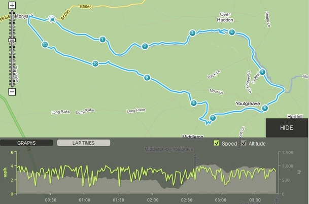
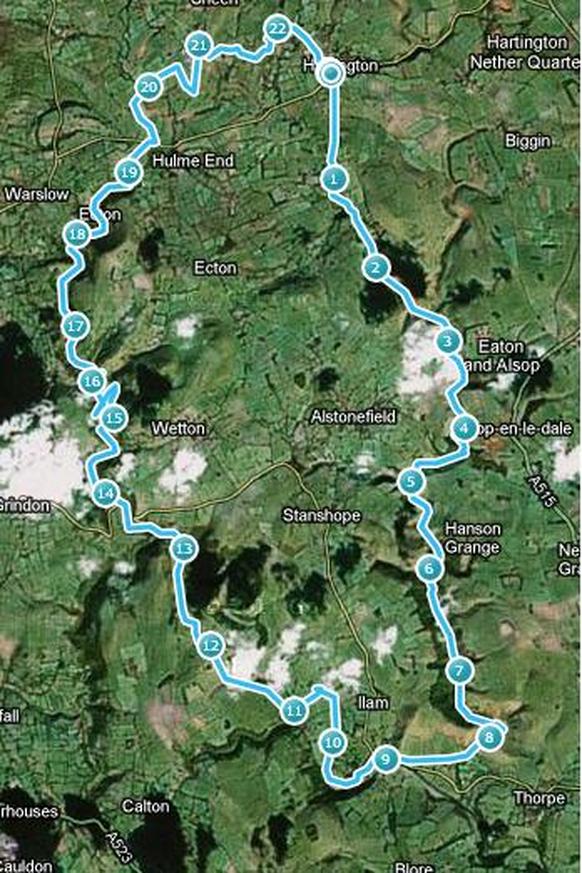
As a teenager, I did a two-day hike with my family, travelling from Hartington down the Dove, overnighting at Ilam Youth Hostel, and returning by the Manifold valley on the second day. As part of my training program for the 29miler, it seemed like an idea to walk this route in one day. I have walked sections in recent years, so have a good idea of the route, and from memory it should be fairly flat. I mapped it out using a piece of software and at an estimated 20miles, it looked pretty good.
After a bit of a late start (not ideal), I parked up by the Public Toilets at Hartington, and followed the path down the side of the gents, and out of the village towards the valley.


Picture
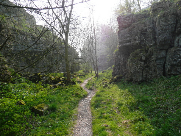
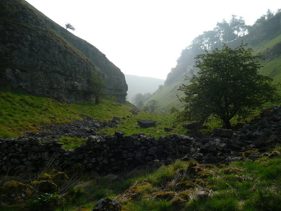
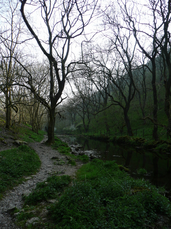
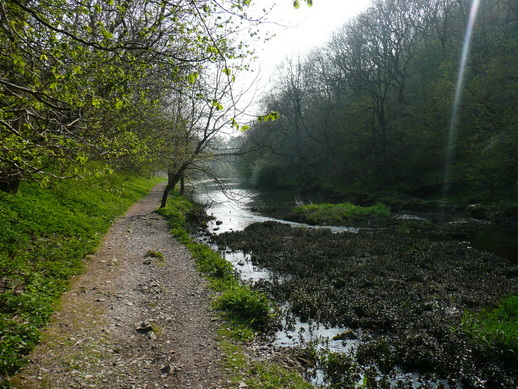
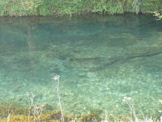
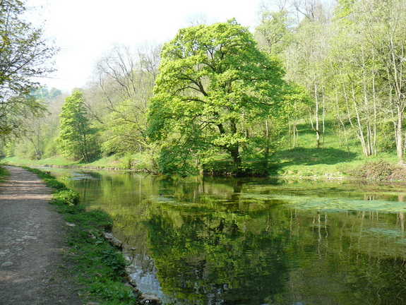
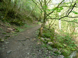
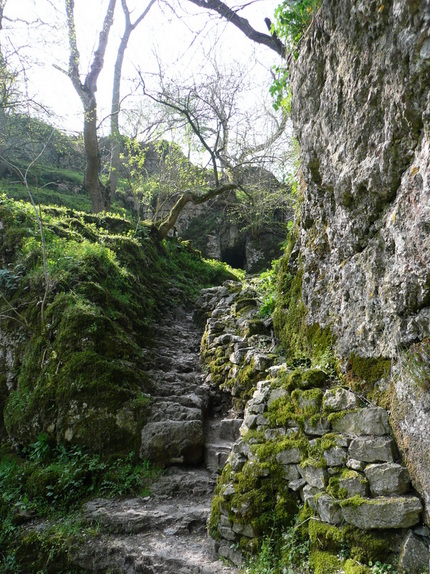
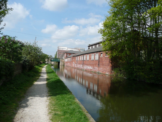
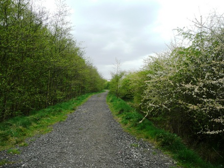
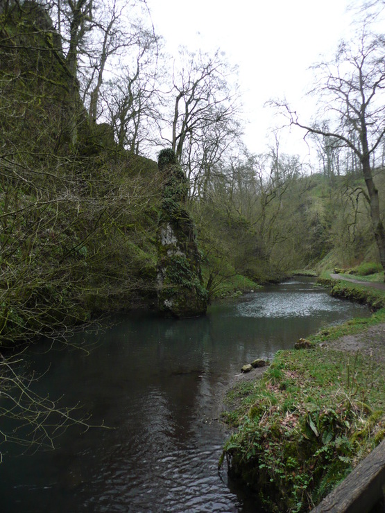
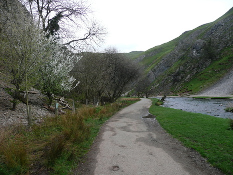
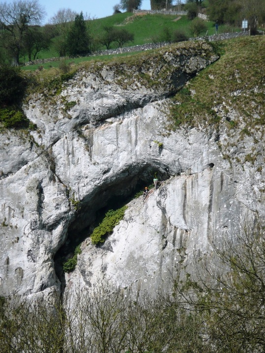
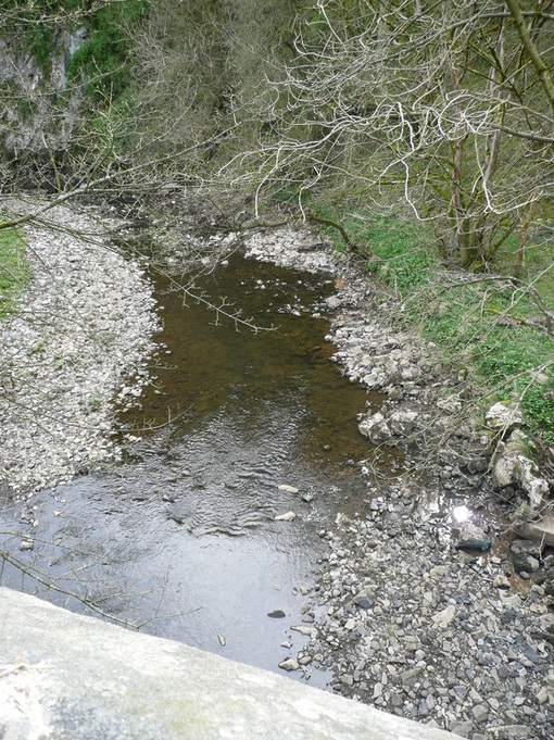
The steep-sided wooded gorge had an air of magic about it. The river looked clear and clean, and there was a limestone spire rising from the water which wouldn't look out of place off the shore of somewhere exotic.

Picture
Heavy showers dogged progress as in my indecision I swapped layers, and during a downpour stopped to dig out my proper waterproofs. The rain stopped immediately, and the clouds gradually lifted.
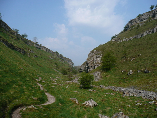
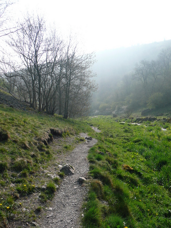
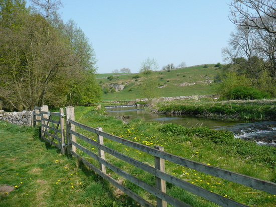
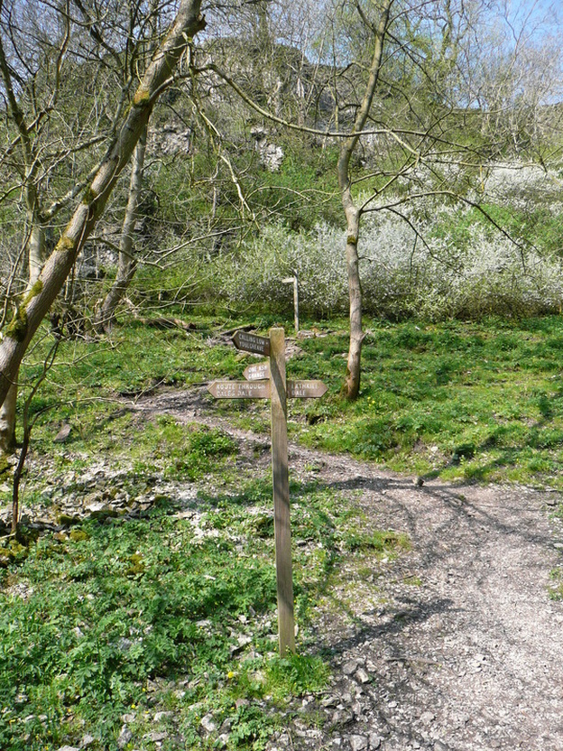
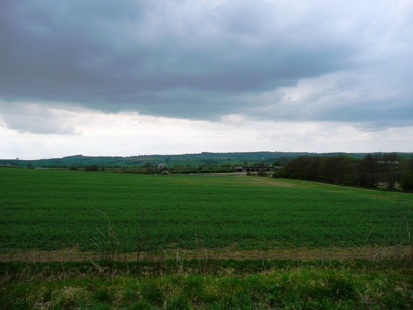
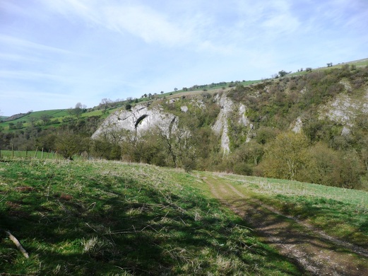
I left the woods, and entered the top of Wolfscote Dale.
Picture
Picture

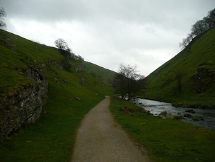
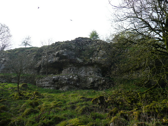
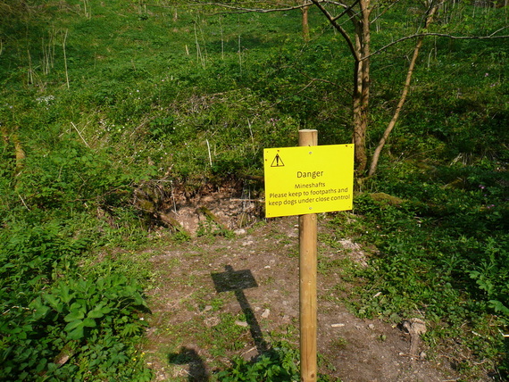
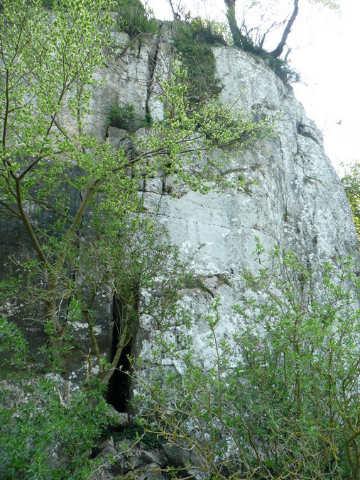
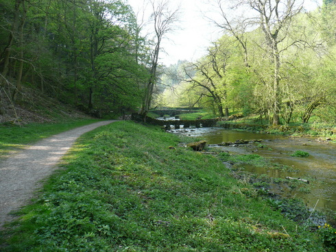
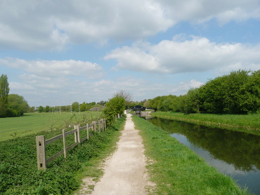
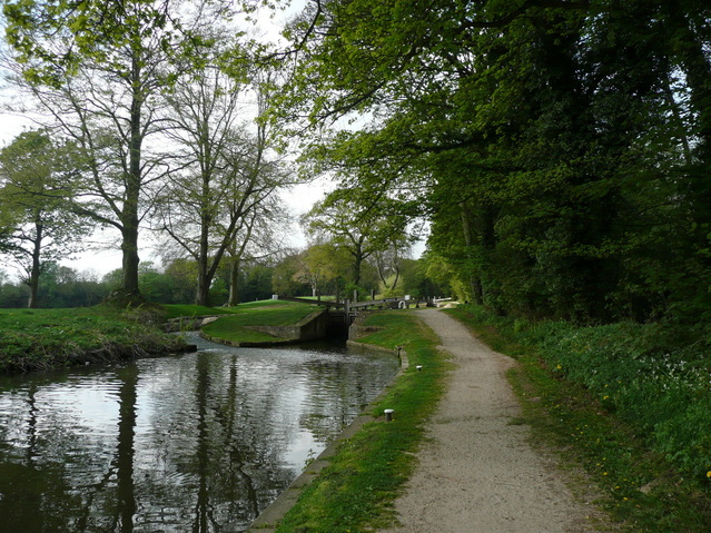
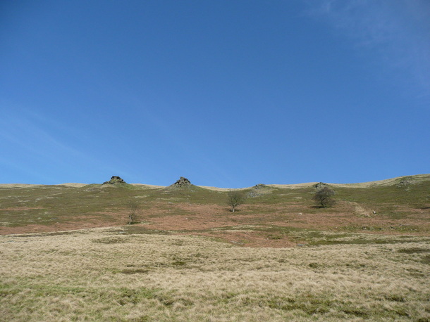
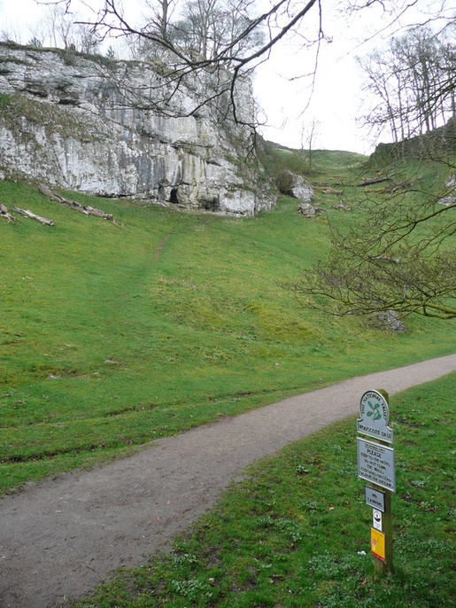
Wolfescote Dale has steep grassy sides with occasional areas of exposed limestone and caves right from the off - classic white peak.  The paths are well maintained, and I began to meet a few other walkers.

Picture
Picture

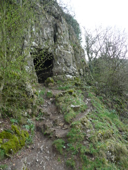
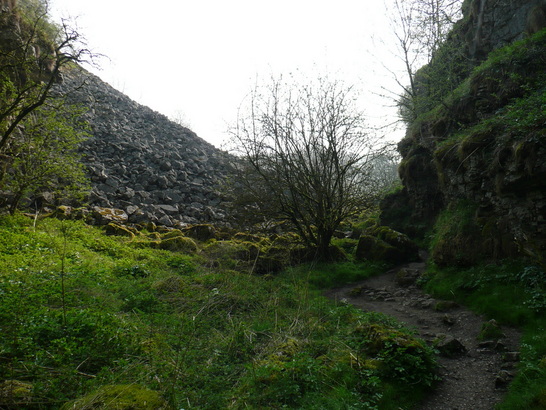
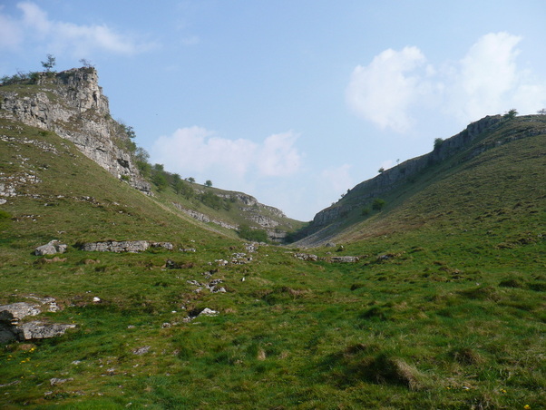
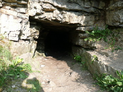
At the lower end of Wolfscote Dale there is another cave up on the left, shortly before the National Trust centre (and toilets!) at Milldale.


Milldale also brought coach parties, and the first major decision of the day.  Do I head up via Shining Tor, or trudge along a road section?
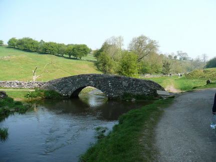
I decided that given the distance remaining, I would conserve my energy, dodge the hills, and take to the road. As luck would have it, there was a good path (so not actual road walking), and I was actually closer to the river than before - only a low wall separating me from the River Dove.
Picture

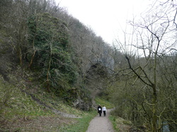
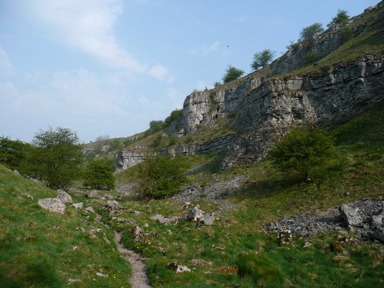
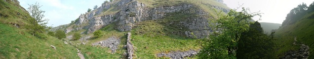
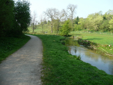
After the short road section, I was into Dovedale proper.
Picturesque, and busy. Sort of like a scaled-up Wolfscote Dale, but with coach parties of retired Ramblers, couples walking dogs, and school trips. 

I had been enjoying the feeling of solitude, and was sad to lose it. The bumblies were blocking the path, and I put the hammer down. I was struck by how much it was like driving. Slow vehicle blocks the road, possibly a convoy, but you excuse yourself past, and they suddenly have the need to race you. The middle-aged gent in jeans with the small dog gave up pretty quickly, but a couple of the kids kept running alongside. I was into my stride, and the walking poles were working well, so I had a huge advantage of sure-footedness over the brief steep, rocky sections. They did well. It was nice to see a large group of young folk from ethnic minorities. There has been a lot of press recently that walking is almost exclusively a recreation for the white middle-class, and it was good to see the kids bucking the trend, and clearly enjoying it.
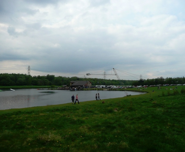
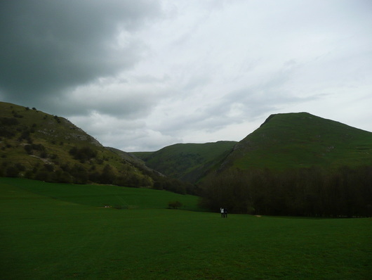
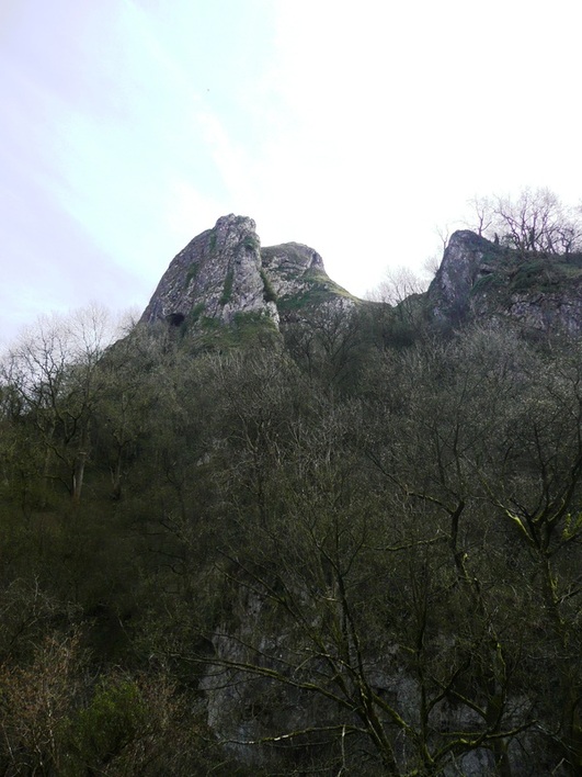
After a while I came to the stepping stones, and found myself alongside Thorpe Cloud.
Picture
Picture
I've done Thorpe Cloud before, so no guilt about passing it by without climbing it.
There was a queue at the icecream kiosk in the Dovedale carpark, so I bore right and took the path out into the fields and over towards Ilam.
Looking back, Thorpe Cloud looked more impressive than I remembered.
Picture
Picture
Picture
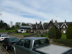
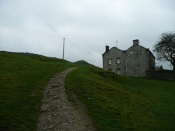
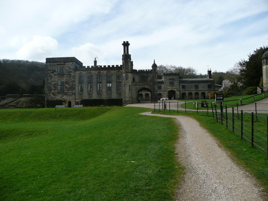
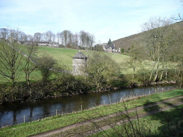
Ilam is a pretty little village, little more than a few houses and Ilam Hall.
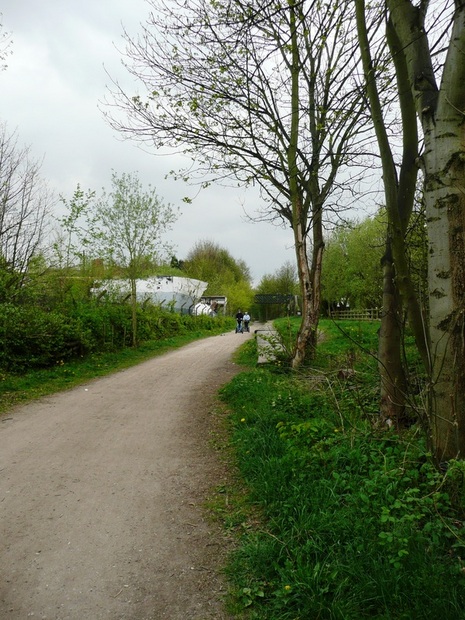
The path runs up to the hall and across and around the left-hand side, joining the route of the River Manifold.
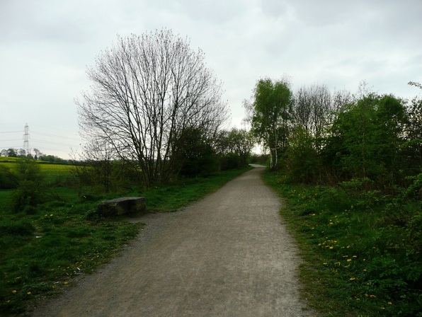
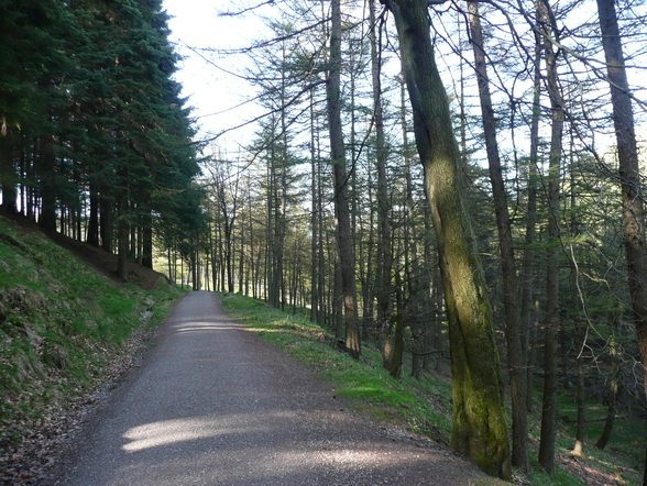
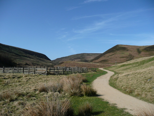
The manifold is an odd river.  I found the riverbed dry and barren, an untidy path of rocks and plastic bags.  The path along the river ran through woodland, so there were few views. I emerged from the woods at Rushley, and had a minor route-finding crisis.  I walked here a number of years ago, taking the path North to Castern Hall. But on this occasion I was to join the Manifold Trail. There was a couple out walking having similar problems, but I was able to direct them up to the hall as I crossed to the opposite side of the valley.


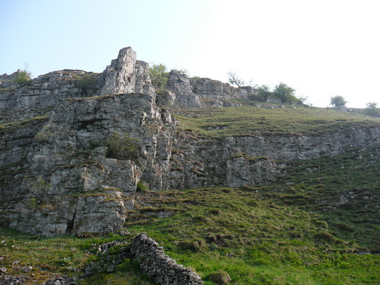
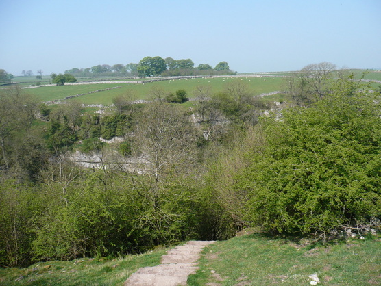
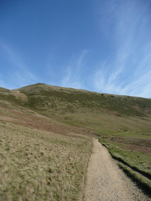
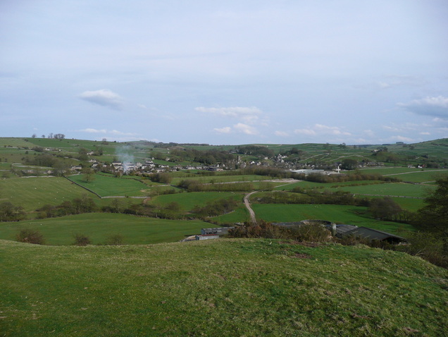
The path rose steeply out of the valley and out onto open fields. This felt like a steep pull, and a few cars were coming past as I walked up the single-track road. Walking poles are a Godsend. I was hauling hard on them as the incline steepened.
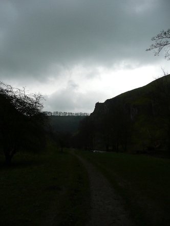
Looking back as I crested the climb:

Picture
Picture
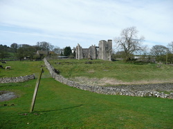
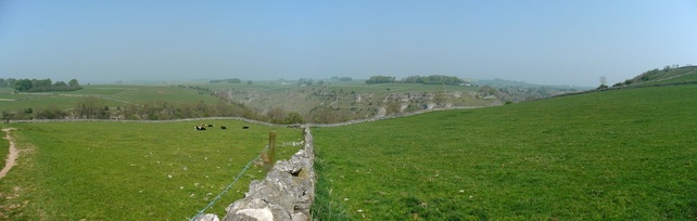
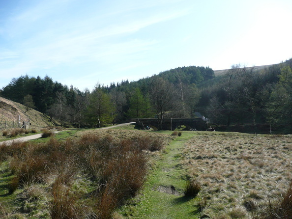
After a short distance, the ruins of Throwley Hall appeared over the horizon. There is a farm here and a Bed and Breakfast.
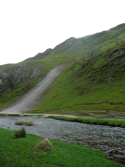
Crossing through the farmyard, the ground dropped steeply back down towards the valley, heading directly for Beeston Tor.

Picture
I spent a couple of minutes watching Climbers on Beeston Tor, then pressed on.
Picture

At Beeston Tor the path returns to the bottom of the valley, following the river bed. This is cyclist country. Flocks of them sweeping past at speed. I was feeling tired by now, but resisted using headphones, as I needed to keep an ear out for them approaching from behind.
I managed to motivate myself by thinking about having a cup of coffee and a kitkat at Wetton Mill.
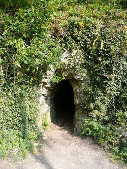
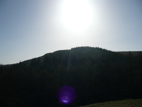
Before long, Thor's Cave loomed high on the hillside up to the right.  I recently visited the cave on a walk from Wetton, so felt happy about not climbing the 1000-or-so feet up to join the walkers on the top.

Picture
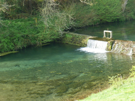
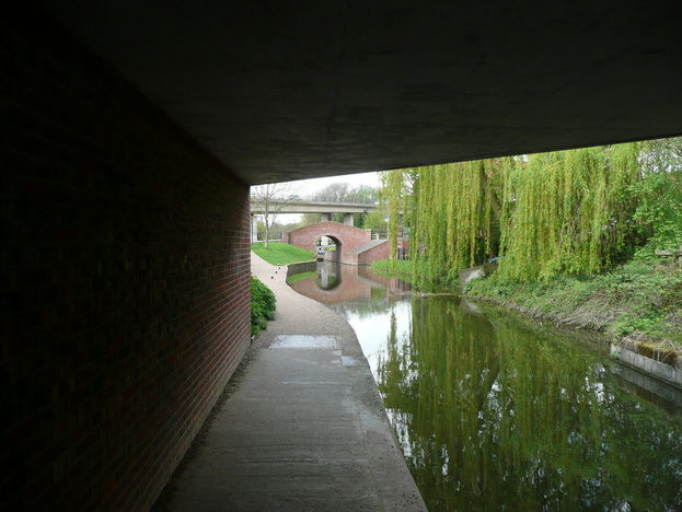
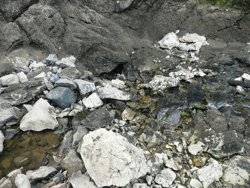
Just before Wetton Mill, the road forked. Taking the left branch, I was able to walk down to the point where the Manifold vanishes into underground caves.  From this point on, I was walking alongside river again.
Picture
Picture
The river vanishes into a couple of holes between the rocks, the entrance to an underground cave system.
Picture
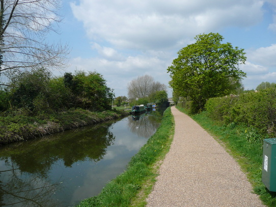
Wetton Mill has a cafe below some caves. Absolute lifesaver. After the best cup of dodgy coffee I have ever drunk in my life, a KitKat, and a few bottles of water back into my hydration system I was feeling a lot happier.  There was another school trip here, a gang of about twenty girls laden down with camping equipment. They seemed pretty pleased to get to the cafe, and attracted all the wasps in the area with an orange Calippo.

Picture
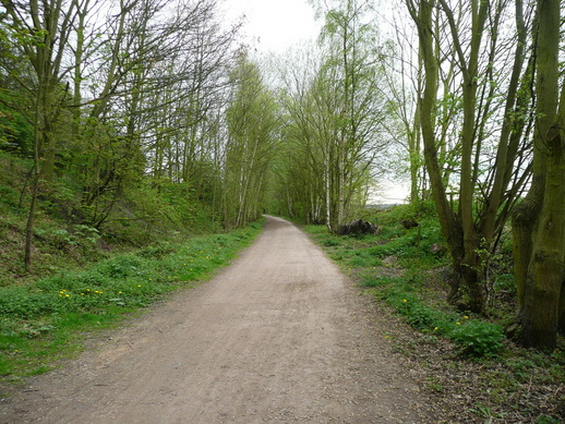
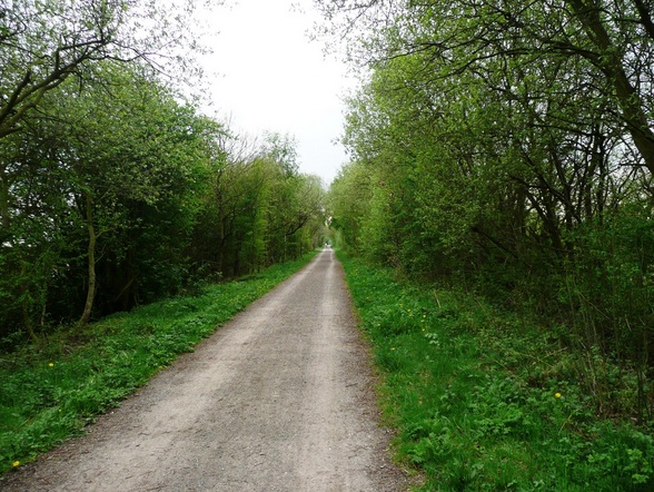
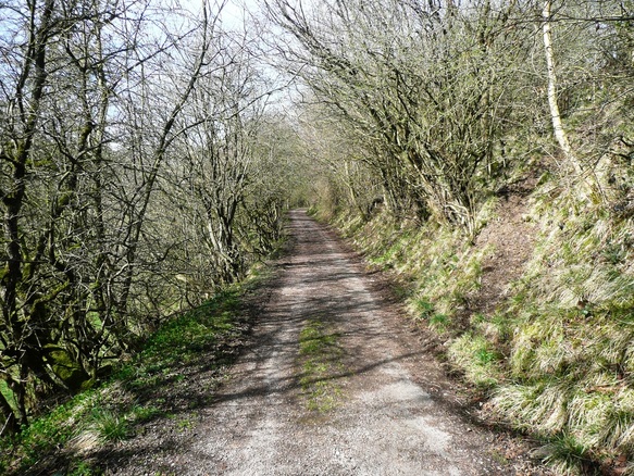
I followed the Manifold trail up towards Ecton.  The Manifold Way and Manifold Trail separate on this stretch, so the cyclists were all down on the other side of the valley, giving me some peace and quiet.
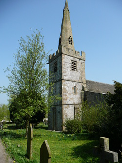
Ecton is an old mining town below Ecton Hill, with a church with a bright blue/green, presumably copper, steeple.
Picture
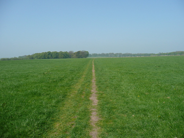
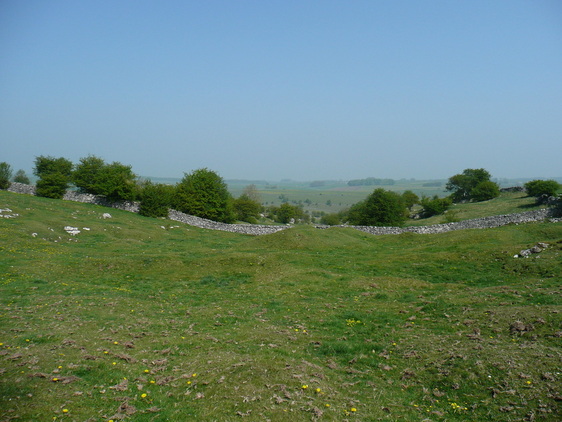
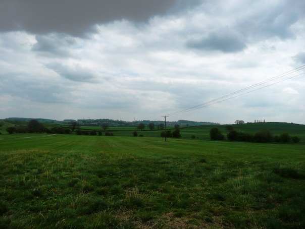
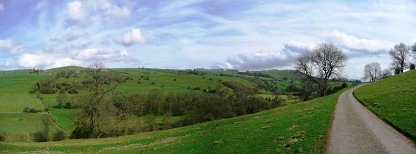
Afer Ecton the landscape opens out, and I left the valleys for open fields.
Picture
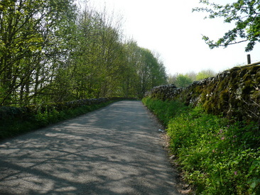
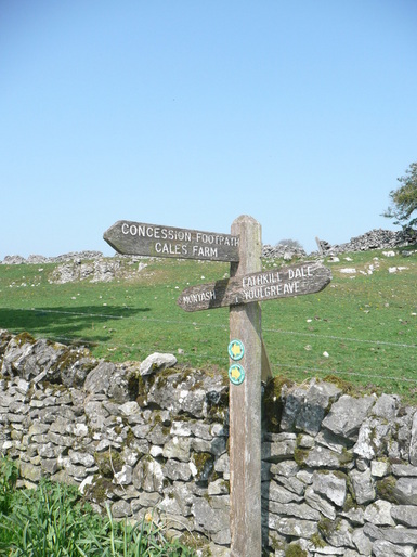
I followed the Manifold Way signs through Hulme End, and after a short road section bore right onto fields behind Hayesgate and over to Townend.
There was a group of Scouts at Townend taking a breather on a grass verge.  They'd been out since 09:30, and covered the best part of nine miles. They seemed amazed that my GPS was reading twenty at this point.

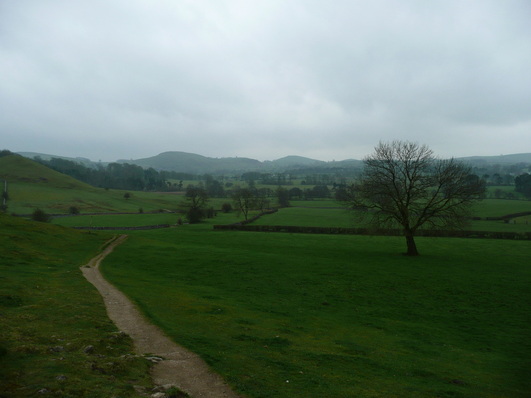
Another brief excursion over farmland, and I could see Hartington.
I was imagining that the smoke was rising from the fireplace in the Pub :)
Picture
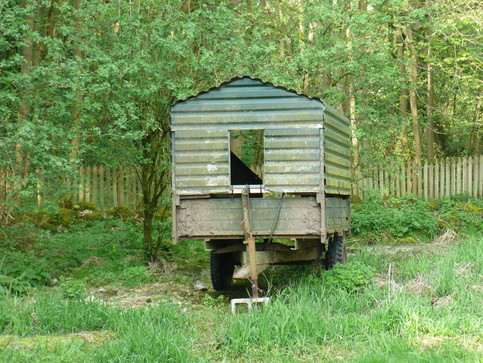
I passed the site of the old Cheese Factory, as I remembered coming this way when I was a teenager.  Sadly the factory is no longer in business, but the buildings remain.
Before long I was back at the car.
GPS software says 22.7miles, but it had a bit of a strop when I stopped at Wetton Mill for a coffee, so I think it's probably nearer 22.
It was a long day, but (barring the stretch from Ilam along the dry river) a very enjoyable one.

Picture