"D-Day" saw me awake in a hotel room in Leeds, with a headache. The suggested evening before prep for an endurance event is carb loading on brown pasta, lots of hydration, and a decent sleep. I went for steak and chips, half a bottle of red, an uncomfortable bed, and lots of noise from the street.
Anyway, I got ready in a state of some anxiety, checked out without breakfast, and headed on down to the Royal Armouries via the Tesco Metro, where I bought some pastries, a Red Bull (no coffee), and a "Lucozade Shot" - an impulse purchase, and something I hadn't tried before.
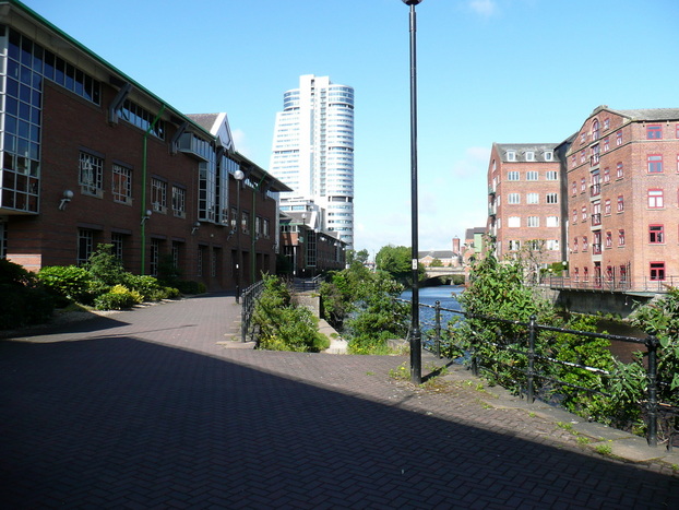
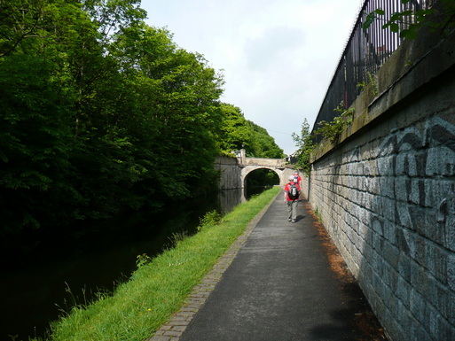
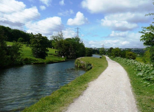
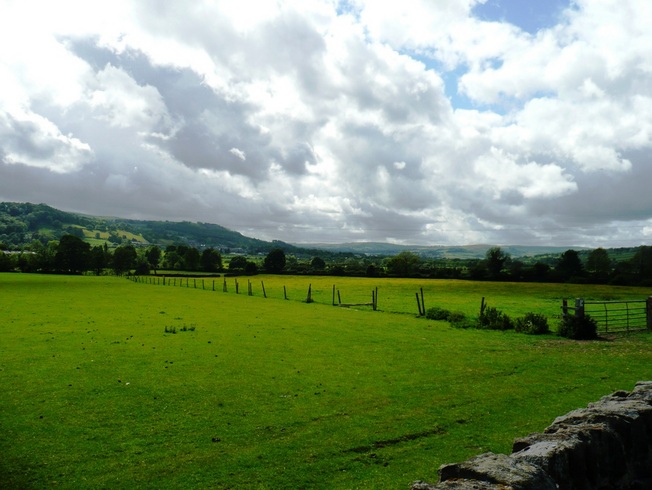
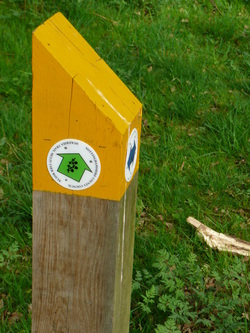
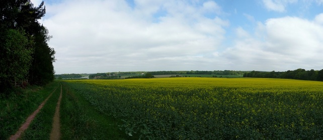
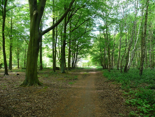
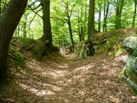
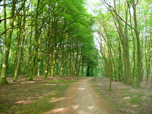
After parking in the Multi-Story at the Royal Armouries, we found the start line in a state of disarray. It was around 08:40 and BHF staff were unloading bottles of water. They gave me a T-shirt, and said I could start if I wanted. The route around Leeds was signposted to "Granary Wharf", and after that it was just towpath to Skipton.
Anyway, I got ready in a state of some anxiety, checked out without breakfast, and headed on down to the Royal Armouries via the Tesco Metro, where I bought some pastries, a Red Bull (no coffee), and a "Lucozade Shot" - an impulse purchase, and something I hadn't tried before.
After parking in the Multi-Story at the Royal Armouries, we found the start line in a state of disarray. It was around 08:40 and BHF staff were unloading bottles of water. They gave me a T-shirt, and said I could start if I wanted. The route around Leeds was signposted to "Granary Wharf", and after that it was just towpath to Skipton.
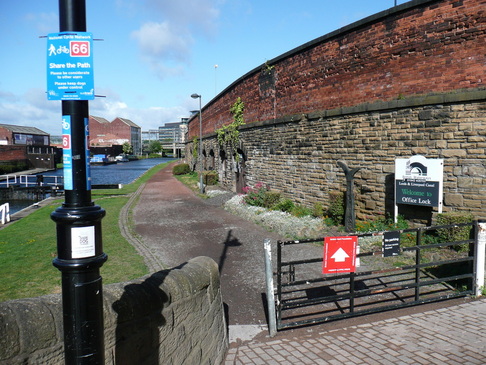
Quite a few walkers seemed to have taken a short cut direct to Granary Wharf instead of following the more circuitous BHF route, which narked me a bit.
Anyway, once on the towpath the showers started, some of them very heavy. This sent folk scurrying under trees and looking for waterproof jackets. I'd got a Paramo windproof which i'd sprayed with Nikwax. It was breathable enough to wear all day, but the water just beaded off, so I just put my hood up and pressed on.
Anyway, once on the towpath the showers started, some of them very heavy. This sent folk scurrying under trees and looking for waterproof jackets. I'd got a Paramo windproof which i'd sprayed with Nikwax. It was breathable enough to wear all day, but the water just beaded off, so I just put my hood up and pressed on.
The pace was fast. As fast as any of my shorter training walks. I was having to resist the urge to race people, and try and force myself to keep my own pace.
I was unsure how to hit a 9hr pace, and decided to just walk at what felt to be a natural fast pace, without going crazy. But after about 8 miles, I could feel discomfort in my left heel and under the ball of my right foot. This didn't bode well.
I was unsure how to hit a 9hr pace, and decided to just walk at what felt to be a natural fast pace, without going crazy. But after about 8 miles, I could feel discomfort in my left heel and under the ball of my right foot. This didn't bode well.
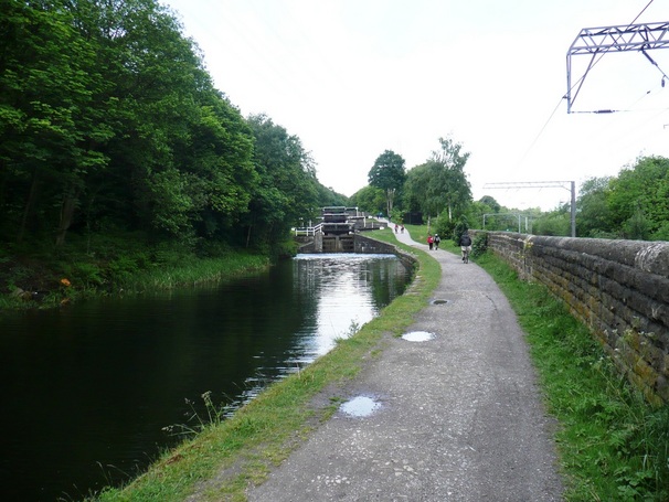
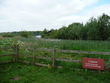
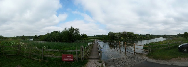
The only toilets I saw all day were at a checkpoint around the 8mile mark. These were only open by BHF having a key. This would pose a problem to anyone planning to repeat the walk, although there were pubs along the route.
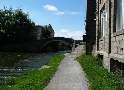
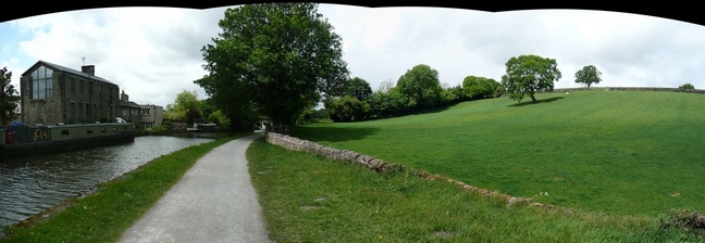
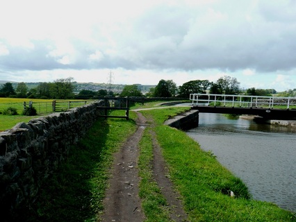
It's difficult to photograph wind, but in the bridge pic below you can see the "white horses" on the waves being whipped up on the canal. The wind got stronger during the day, and in some of the more exposed sections I was struggling to push against it.
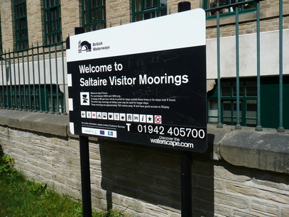
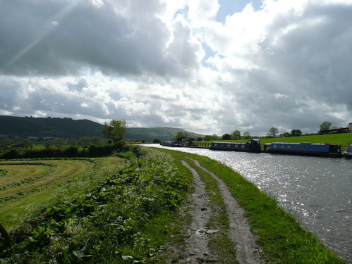
At Saltaire, I began to encounter the front runners walking in the opposite direction. I crossed over with my friends who had started from Skipton at an indicated 15.5 miles.
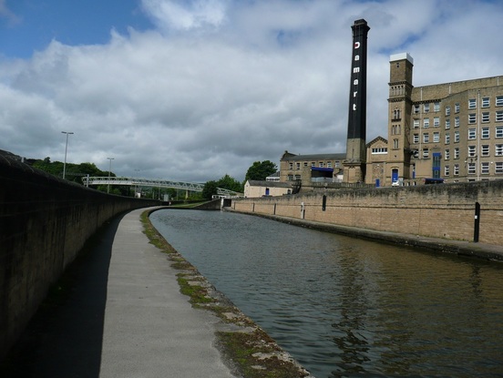
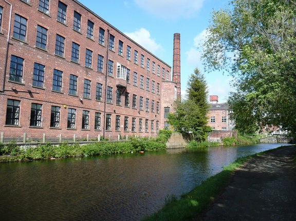
The Damart factory!
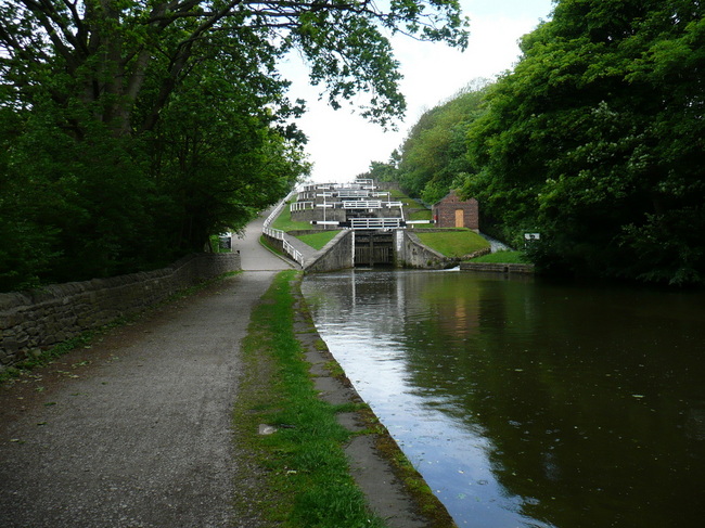
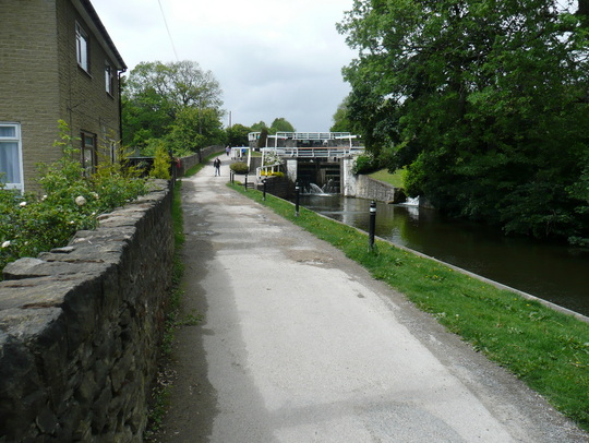
You can see the rain hitting the canal in this shot of the 5 locks.
At the checkpoint I met my wife, changed my socks, and refilled my hydration system with another 2litres of isotonic, taking a bottle of water as a reserve.
My feet were already badly blistered, but the pain was tolerable, so I pushed on.
Refreshed from my short break, I was doing OK. Snacking dextrose tablets, I drank a bottle of Lucozade Shot which I had bought in the Tesco Metro before the start. I had never had it before and it was foul. I could feel it burning my throat, and my stomach rumbled violently. I had a noticeable increase in energy, so put some dance music on my headphones, and put in a good pace. I didn't know how sustainable it was, but decided to go with it.
I probably passed about 15 people at my fast pace (sub-17min miles). I chatted with them on the way past, and most of them were struggling with blisters, fatigue, or both.
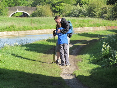
My walking poles were a real point of interest - this surprised me. I bought them around the turn of the century when they were trendy in hillwalking circles, but they've mostly sat in the back of a cupboard until I started doing the longer walks. I've found them to be a fantastic help.
My walking poles were a real point of interest - this surprised me. I bought them around the turn of the century when they were trendy in hillwalking circles, but they've mostly sat in the back of a cupboard until I started doing the longer walks. I've found them to be a fantastic help.
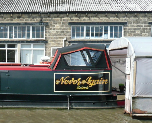
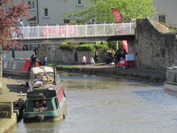
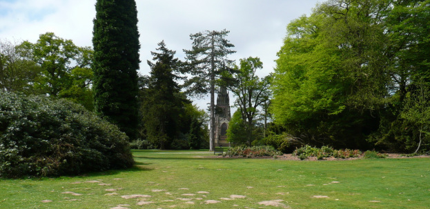
I was amused by the name of this Narrowboat.
Trouble.
Just after texting through to say I was approaching Skipton, severe stomach cramps kicked in. These got worse, and I had to give up on my hopes of catching the two guys in the walking gear, and slowed right down.
Eventually I was managing no more than 10 steps before having to stop and try to regain my composure.
I was unsure if I was going to finish. I stopped on my poles, and began to panic, when around the corner came a flash of blue.
It was my welcoming committee come to find me.
We walked together to the finish line, finishing at 18:00, where I received my medal, and the key to the toilet!
The BHF rep at the finish commented upon how few folk had finished on time, and that they were planning to hold the finish line and checkpoints open quite a bit later.
I was still struggling badly with my stomach until I remembered I had some pills in the rucksack. I brightened up after that, and after resting for about half an hour with my family, and lots of photographs, I drove home.
I had to stop at the services to loosen my shoes as my feet swelled up massively, but otherwise didn't feel too bad,
I felt like I had 'flu for a couple of days afterwards. My blisters were pretty bad, but unbroken, so I was able to walk normally after a few days of hobbling. I'm still tired a week later!
Epic walk. The hard paths and strong headwinds made this much harder than my training walks.
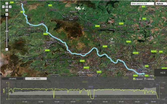
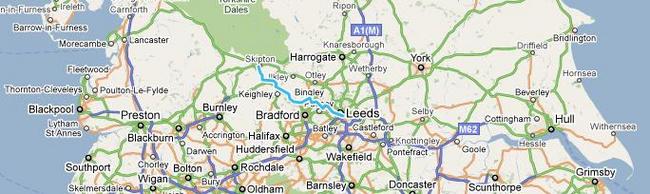
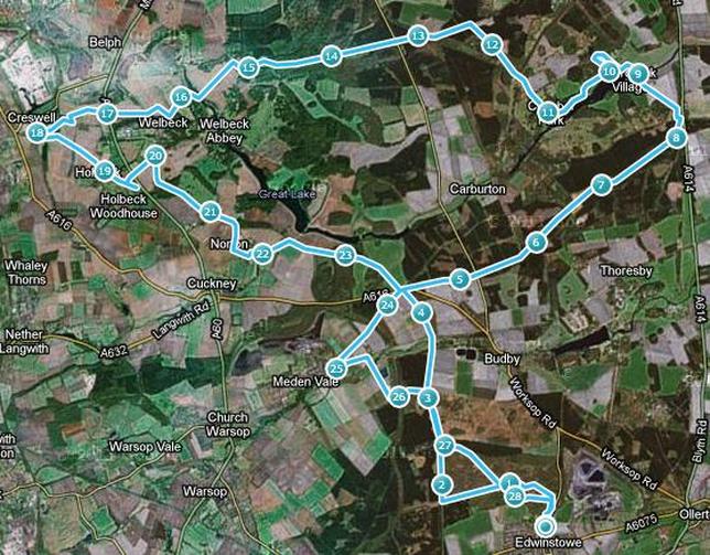
The pale blue line is the route off the walk.
So that's the Ultramarathon over with. I've already had a planning meeting for Nevis on 13th June. Time to start training on some less flat routes. At least for Nevis I can do it in my own time.
So that's the Ultramarathon over with. I've already had a planning meeting for Nevis on 13th June. Time to start training on some less flat routes. At least for Nevis I can do it in my own time.
 RSS Feed