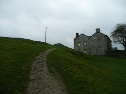
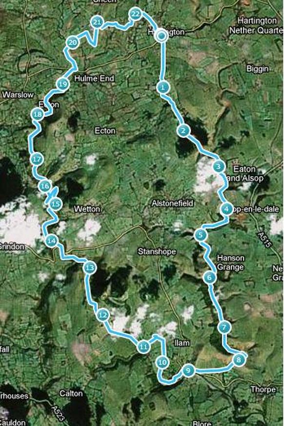
As a teenager, I did a two-day hike with my family, travelling from Hartington down the Dove, overnighting at Ilam Youth Hostel, and returning by the Manifold valley on the second day. As part of my training program for the 29miler, it seemed like an idea to walk this route in one day. I have walked sections in recent years, so have a good idea of the route, and from memory it should be fairly flat. I mapped it out using a piece of software and at an estimated 20miles, it looked pretty good.
After a bit of a late start (not ideal), I parked up by the Public Toilets at Hartington, and followed the path down the side of the gents, and out of the village towards the valley.
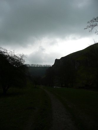
I left the woods, and entered the top of Wolfscote Dale.
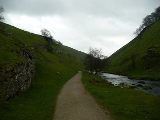
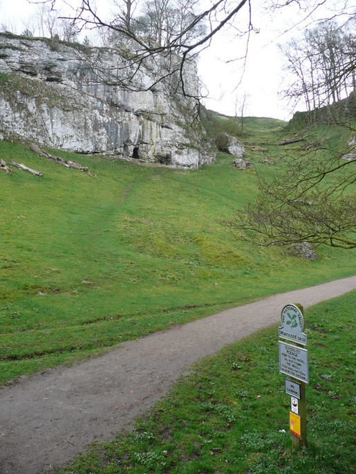
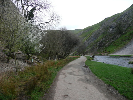
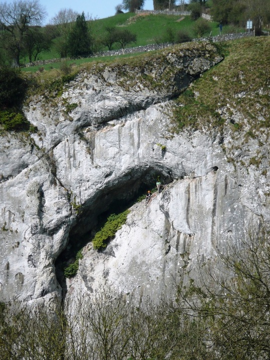
Wolfescote Dale has steep grassy sides with occasional areas of exposed limestone and caves right from the off - classic white peak. The paths are well maintained, and I began to meet a few other walkers.
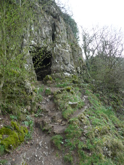
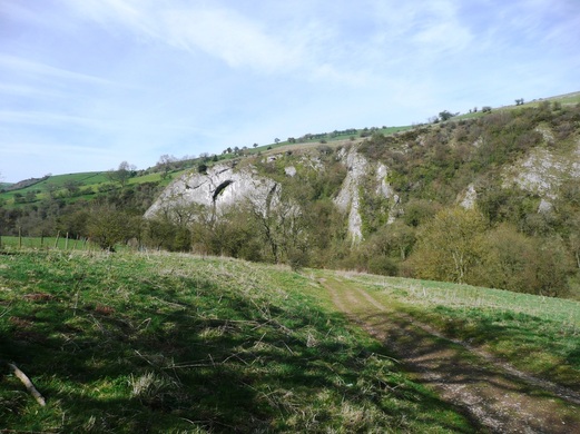
At the lower end of Wolfscote Dale there is another cave up on the left, shortly before the National Trust centre (and toilets!) at Milldale.
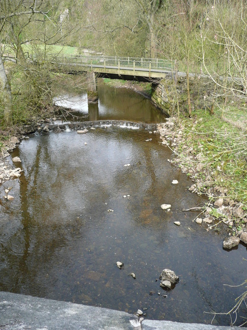
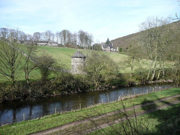
I decided that given the distance remaining, I would conserve my energy, dodge the hills, and take to the road. As luck would have it, there was a good path (so not actual road walking), and I was actually closer to the river than before - only a low wall separating me from the River Dove.
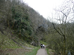
After the short road section, I was into Dovedale proper.
Picturesque, and busy. Sort of like a scaled-up Wolfscote Dale, but with coach parties of retired Ramblers, couples walking dogs, and school trips.
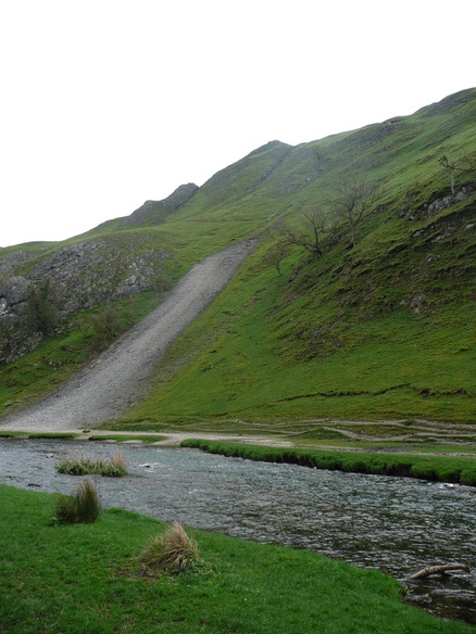
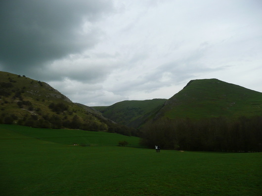
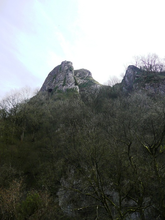
After a while I came to the stepping stones, and found myself alongside Thorpe Cloud.
There was a queue at the icecream kiosk in the Dovedale carpark, so I bore right and took the path out into the fields and over towards Ilam.
Looking back, Thorpe Cloud looked more impressive than I remembered.
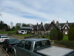
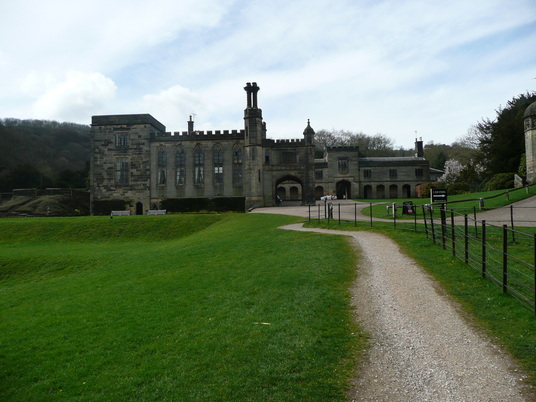
The path runs up to the hall and across and around the left-hand side, joining the route of the River Manifold.
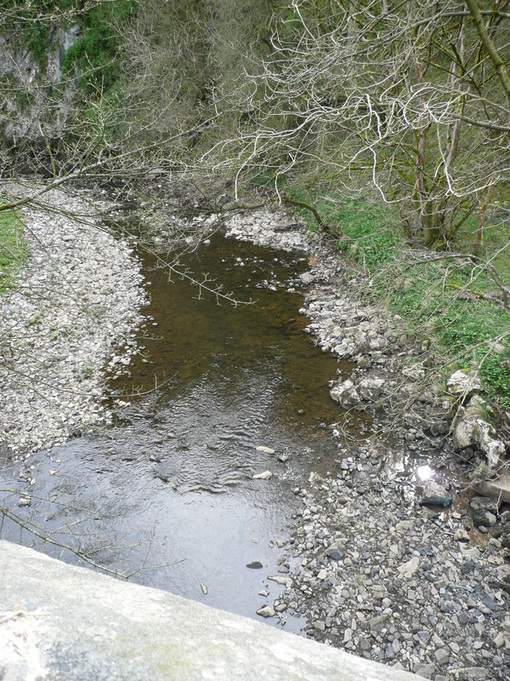
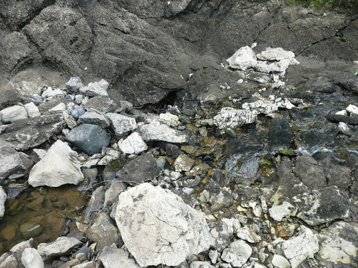
The manifold is an odd river. I found the riverbed dry and barren, an untidy path of rocks and plastic bags. The path along the river ran through woodland, so there were few views. I emerged from the woods at Rushley, and had a minor route-finding crisis. I walked here a number of years ago, taking the path North to Castern Hall. But on this occasion I was to join the Manifold Trail. There was a couple out walking having similar problems, but I was able to direct them up to the hall as I crossed to the opposite side of the valley.
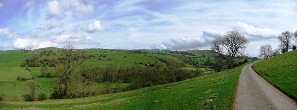
Looking back as I crested the climb:
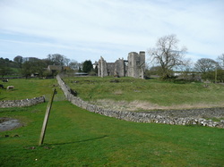
Crossing through the farmyard, the ground dropped steeply back down towards the valley, heading directly for Beeston Tor.
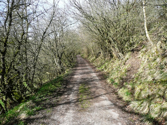
At Beeston Tor the path returns to the bottom of the valley, following the river bed. This is cyclist country. Flocks of them sweeping past at speed. I was feeling tired by now, but resisted using headphones, as I needed to keep an ear out for them approaching from behind.
I managed to motivate myself by thinking about having a cup of coffee and a kitkat at Wetton Mill.
Before long, Thor's Cave loomed high on the hillside up to the right. I recently visited the cave on a walk from Wetton, so felt happy about not climbing the 1000-or-so feet up to join the walkers on the top.
Ecton is an old mining town below Ecton Hill, with a church with a bright blue/green, presumably copper, steeple.
There was a group of Scouts at Townend taking a breather on a grass verge. They'd been out since 09:30, and covered the best part of nine miles. They seemed amazed that my GPS was reading twenty at this point.
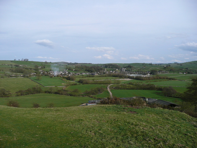
Another brief excursion over farmland, and I could see Hartington.
I was imagining that the smoke was rising from the fireplace in the Pub :)
Before long I was back at the car.
GPS software says 22.7miles, but it had a bit of a strop when I stopped at Wetton Mill for a coffee, so I think it's probably nearer 22.
It was a long day, but (barring the stretch from Ilam along the dry river) a very enjoyable one.
 RSS Feed