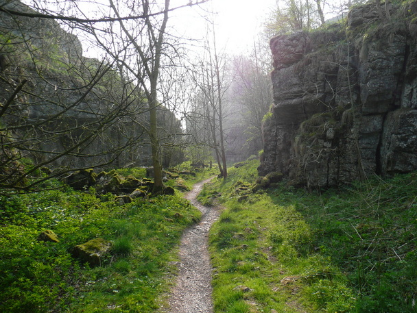
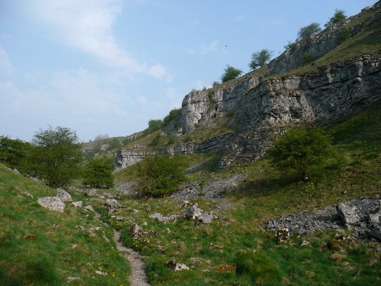
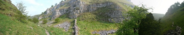
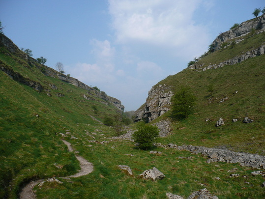
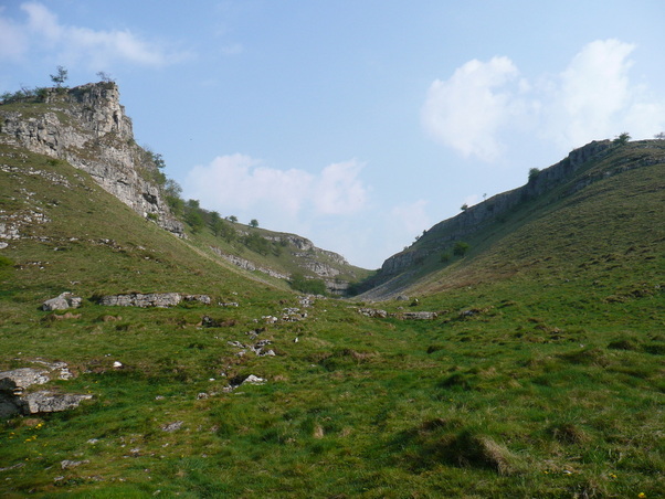
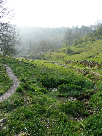
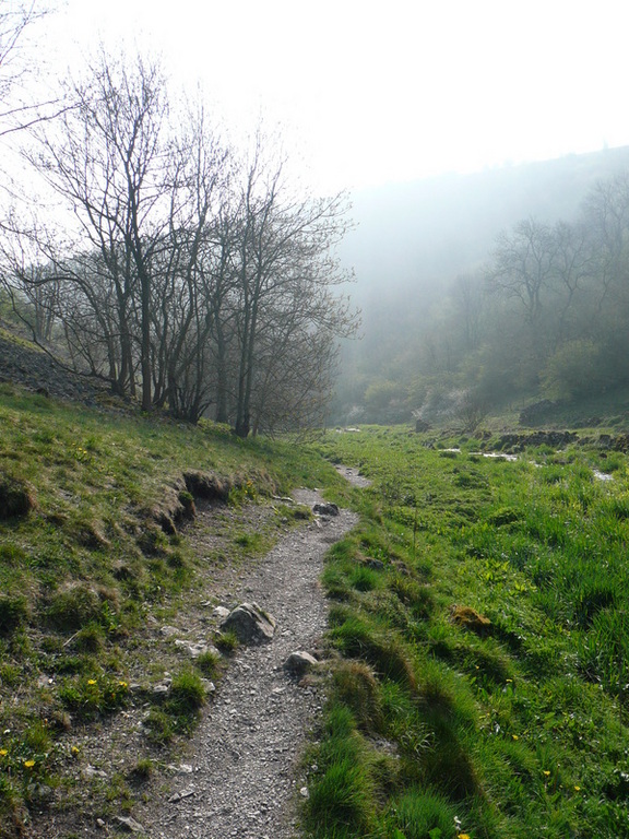
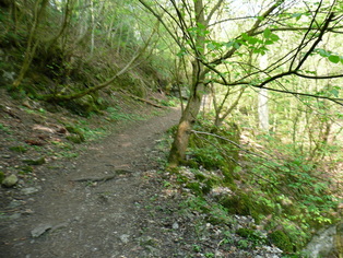
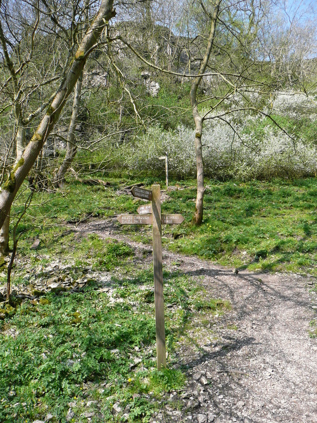
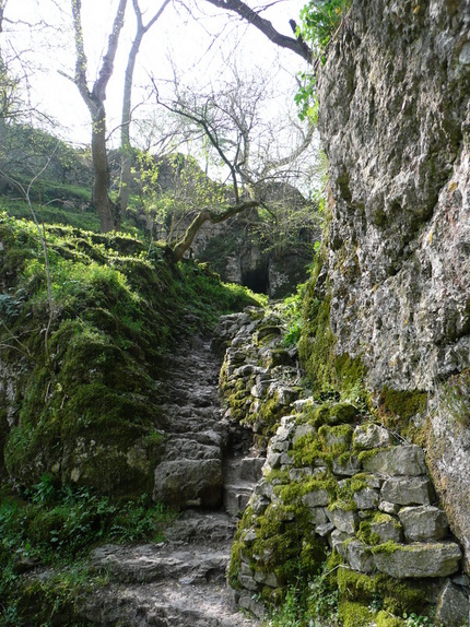
Upper Lathkill Dale is a crazed fantasy landscape of limestone cliffs and shattered rock. The path is rocky and uneven underfoot, so I had no hope of hitting my intended pace, especially while gawping at the geology.
The path twists and turns between the crags.
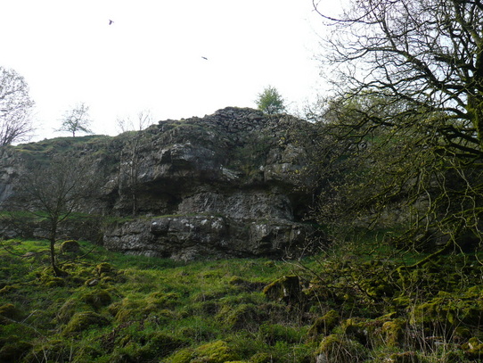
A murder of crows wheeled overhead, adding to the atmosphere.
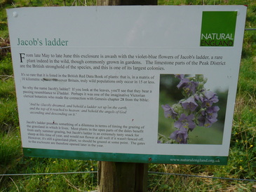
Come back in June :)
Sun came out about 10am, and beat down relentlessly for the rest of the day.
After a while I convinced myself that I could smell the sea. While struggling with this thought, I realised that the vegetation in the bottom of the valley was damp. Soon this formed the start of the river Lathkill.
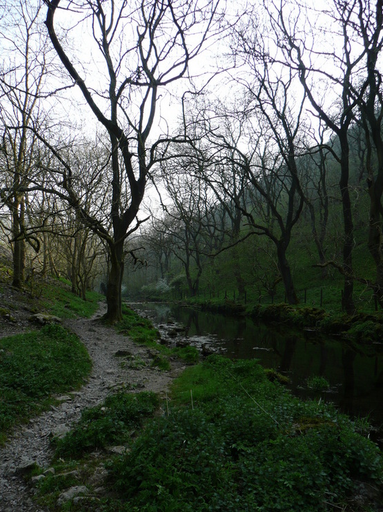
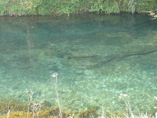
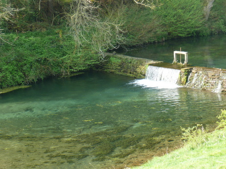
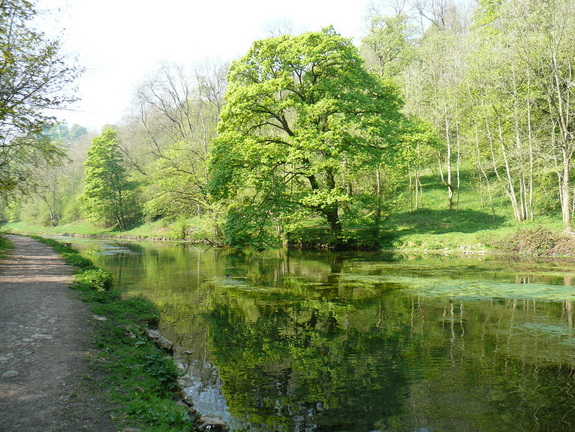
The river rapidly grew in size and stature, passing over a number of waterfalls. Incredibly clear water - all the way down.
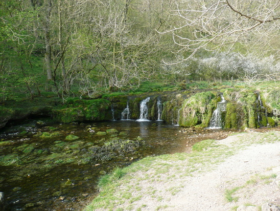
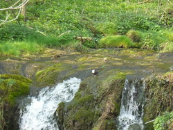
Camera's not really up to it at extreme zoom, but there was a Dipper playing in the waterfall.
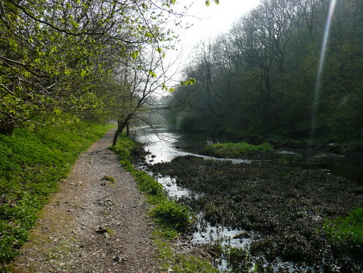
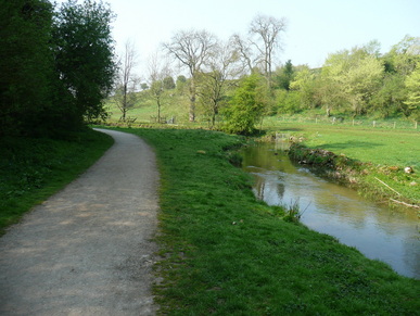
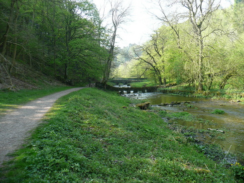
The path really felt to be in the river. There was a lot of birdlife in the woods. I could hear (but not see) a Woodpecker, and Chaffinches and a variety of tits flitted across the path.
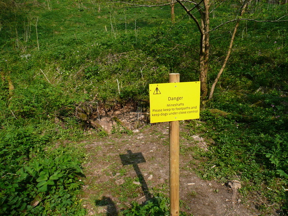
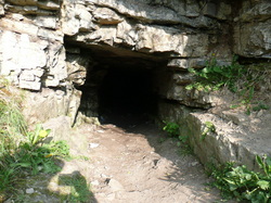
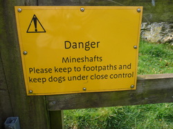
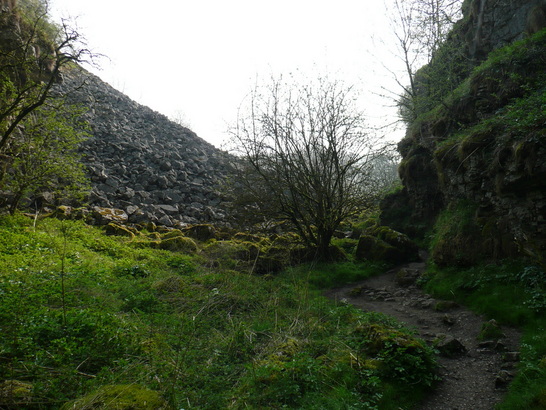
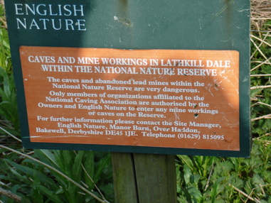
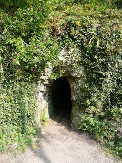
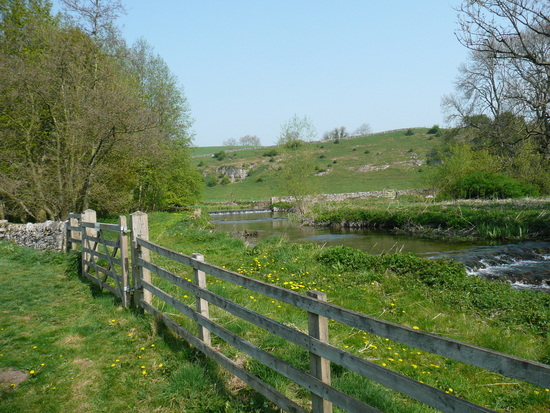
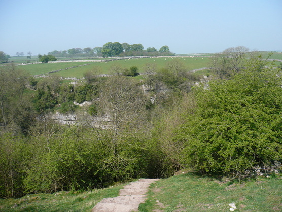
There were a lot of mines and caves along this stretch, and it seemed more popular with walkers.
I made a navigational error at this point. The guide I was following said to cross the bridge and follow the old pack horse route down to Alport. I crossed a footbridge at a ford, and followed a rough track steeply uphill. Eventually I turned back, ego in tatters, as it was clearly wrong. To add insult to injury, a family I had steamed past were now once again ahead of me, and I had to "Hello again", as I went past.
Incredibly clear blue water, but I never saw any fish or Heron.
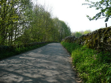
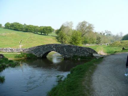
Crossing Conksbury Bridge there was a short period of road walking.
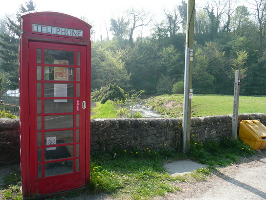
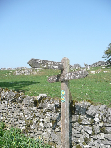
At Alport the river Lathkill converges with the Bradford at a red phone box, and I changed rivers to complete the loop back up towards Monyash.
The Bradford had a different character to the lower Lathkill, and I immediately warmed to it.
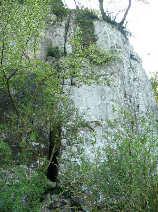
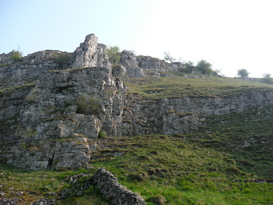
This impressive crag had climbers slings hanging from an obvious belaying point higher up. And lots of crows.
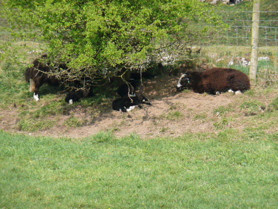
Jacobs (?) lambs keeping cool in the shade.

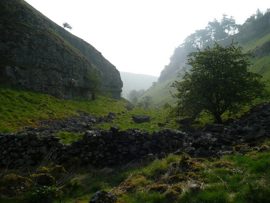
Eventually the Limestone Way crossed the river by some ruins, and climbed sharply by a zig-zag path up to Lomberdale Hall, a climb of nearly 1000ft.
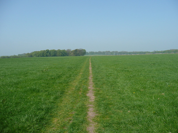
Eventually the climbing came to an end. The Limestone Way cut across fields for a few miles back towards Monyash.
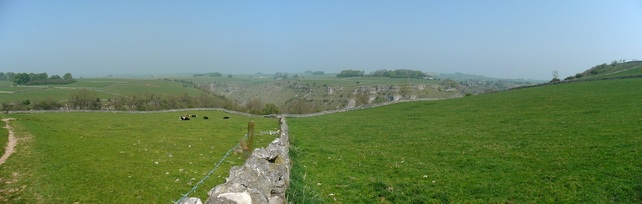
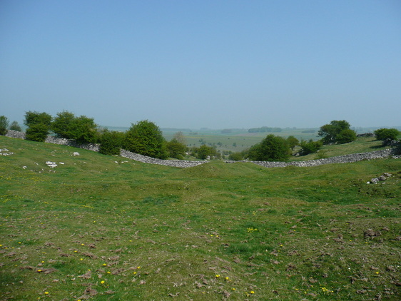
Impressive views back down towards Lathkill Dale
The path descends steeply into Cale Dale. Not good - I could see it continued on the other side, at the height I was climbing down from...
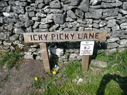
The path came out in a farmyard. From there it was across fields and down a "green lane" back to the carpark just outside Monyash.

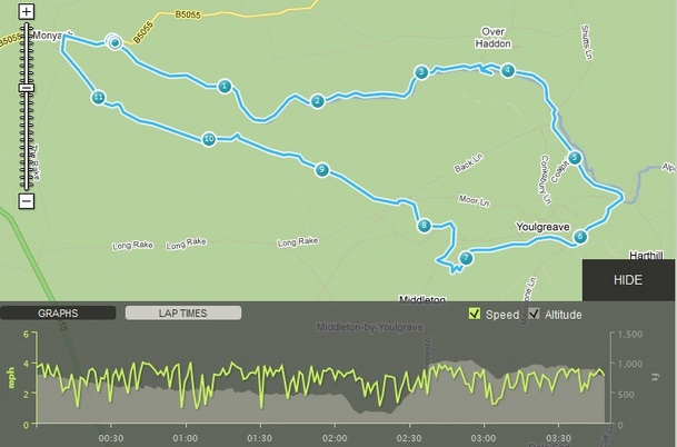
Given the late start, the need to finish early as I had things on in the afternoon, and the 1000+ft of ascent on a hot day, this walk was more strenuous than I had anticipated. Very enjoyable outing, though, and I would like to return to upper Lathkill again.
 RSS Feed