Royal Wedding bank holiday weekend, and I was due to do the last of my big training walks. I was bang out of walks ideas, and was "on call" from work. A bit of a calendar reshuffle, some inspiration from my wife, the rejection of the idea of doing the first two legs of the Pennine Way in one day, and I was in the car, heading towards Edwinstowe.
As a youngster I visited Sherwood Forest many times, including a night-time navigational exercise in the woods. But I hadn't been back for years (despite visiting Center Parcs nearby).
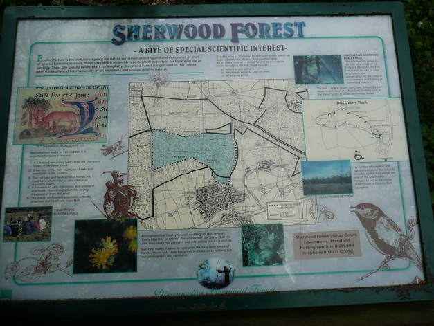
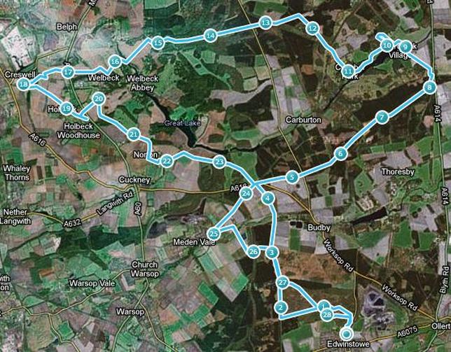
The Robin Hood Way long distance path has an appealling looking loop at this end of its 107mile length, and by cutting off a short section, it looked to me as if I could work out a marathon-length loop around Sherwood, Clumber Park, and Creswell Crags.
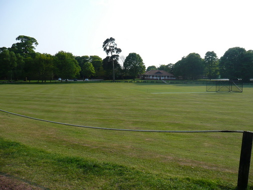
Armed with an OS Explorer map, I parked up by Edwinstowe Cricket Club, and headed towards the Sherwood Forest Visitor Centre.
The Robin Hood Way long distance path has an appealling looking loop at this end of its 107mile length, and by cutting off a short section, it looked to me as if I could work out a marathon-length loop around Sherwood, Clumber Park, and Creswell Crags.
Armed with an OS Explorer map, I parked up by Edwinstowe Cricket Club, and headed towards the Sherwood Forest Visitor Centre.
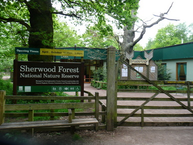
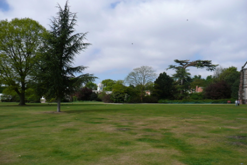
I was a bit early for the visitor centre to be open, so made my way towards the Major Oak, rumoured hiding place of medieval insurgent Robin Hood.
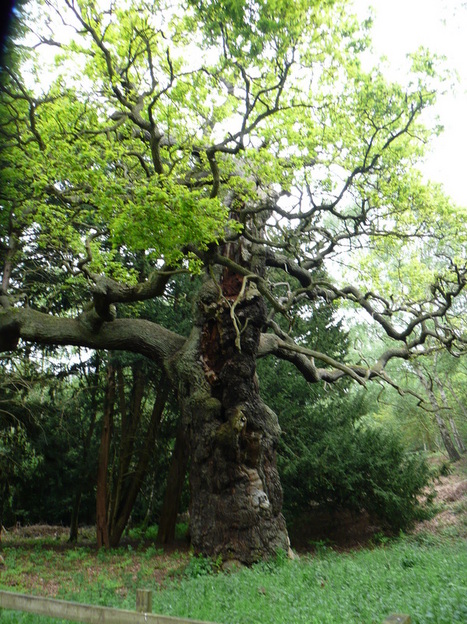
Big props to the Oak.
Routefinding got... interesting.
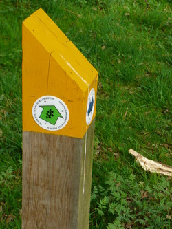
I couldn't find any Robin Hood Way markers, just markers for the Dukeries Multi-User Trail. This was not marked on my map.
I hate walking holding a map and compass, especially when in an area frequented by locals walking dogs.
Eventually I picked up what I thought was the correct path, and checking bearings and junctions against the map, I was able to check where I was.
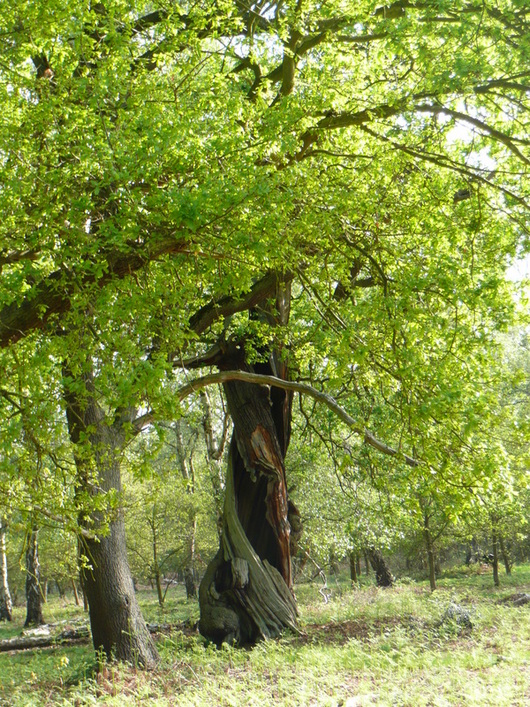
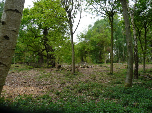
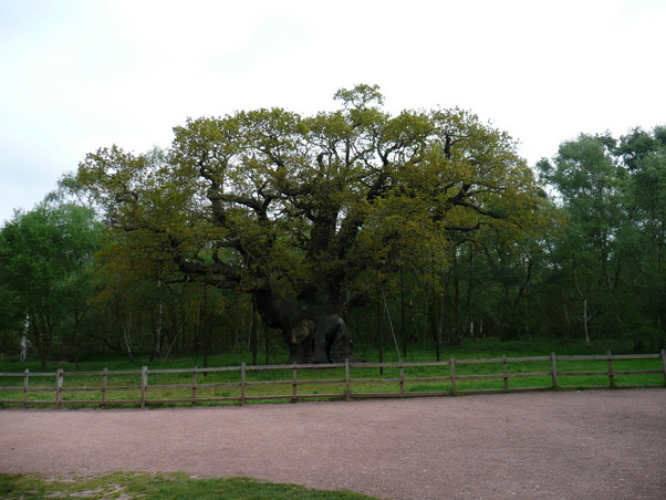
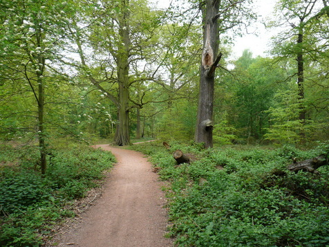
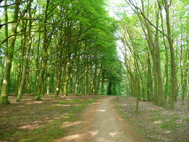
The gnarled and twisted ancient oaks were really impressive. Some of them were little more than the shattered core of the tree with a thin ribbon of bark feeding the remaining branches.
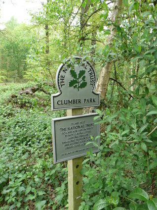
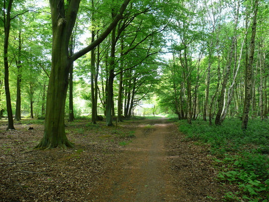
Eventually the path left the woods and headed out towards Clumber Park, passing the outskirts of Budby training range.
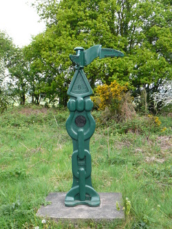
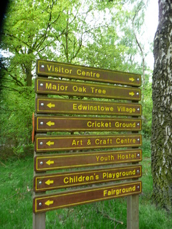
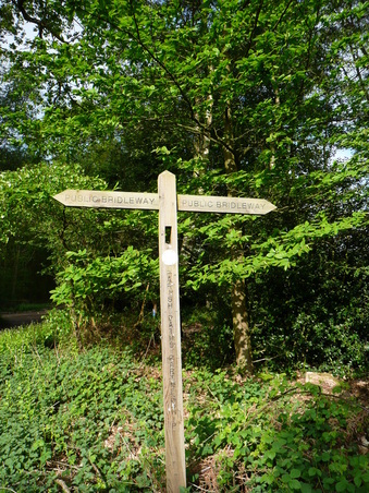
Not the most useful signpost in the world.
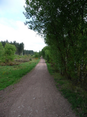
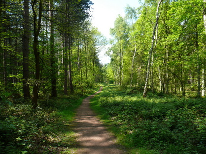
The path running along the southern edge of Clumber Park begins in a heavily wooded area, then straightens out and runs between hedges of young trees for a number of miles. This would have been a rather dull section, were it not for the fact that I was being followed about 1/4 mile behind by a man wearing dark clothing, with his hood up, on a warm sunny day. Not good for the paranoia, especially as I hadn't seen another living soul for about an hour. Eventually he dropped back, and I relaxed a little.
The path running along the southern edge of Clumber Park begins in a heavily wooded area, then straightens out and runs between hedges of young trees for a number of miles. This would have been a rather dull section, were it not for the fact that I was being followed about 1/4 mile behind by a man wearing dark clothing, with his hood up, on a warm sunny day. Not good for the paranoia, especially as I hadn't seen another living soul for about an hour. Eventually he dropped back, and I relaxed a little.
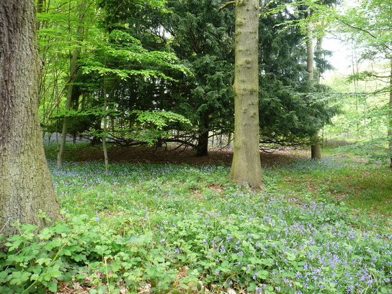
Bluebells in Clumber.
The path eventually left the woods and passed through fields before dropping down to a ford, then climbing back towards Hardwick Village.
As I skirted Hardwick heading to the lake, I encountered an instructor from a "Boot Camp", who was looking for his trainees - I'd passed them a little earlier, shambling along through the woods. He asked me if I was orienteering!
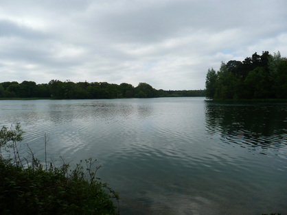
After following the lake, I rounded the main buildings at Clumber. I had intended to stop for a coffee, but decided to press on, and eat lunch on the hoof.
I managed to hit the right path, but list the contents of my sandwich as I bit into it. Not ideal. I was really quite tired, and less than half the intended distance. The decision to dodge the cofffee wasn't a great one.
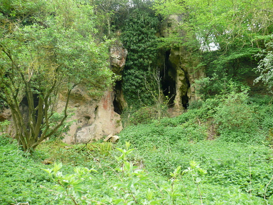
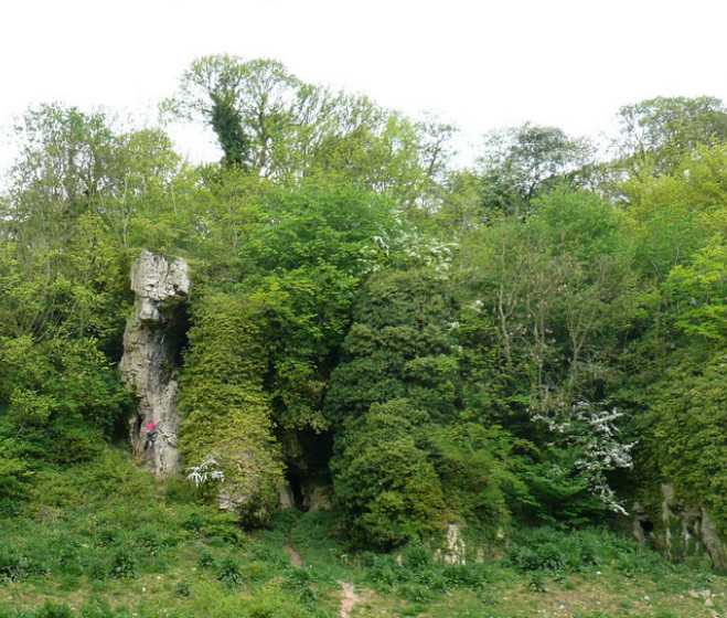
The path running out towards Welbeck Abbey was extremely quiet, I only met one other person - a runner heading the other way, who did not acknowledge me. As the route dropped through a carving in the rock, my imagination ran riot.
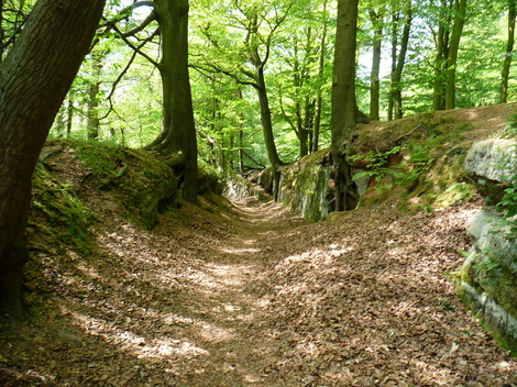
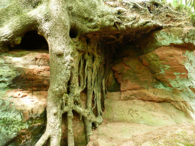
Very Lord Of The Rings.
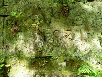
The carved graffiti had dates, some as early as the 1830's.
The carved graffiti had dates, some as early as the 1830's.
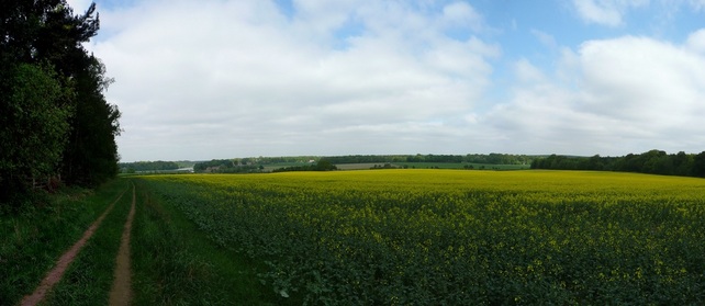
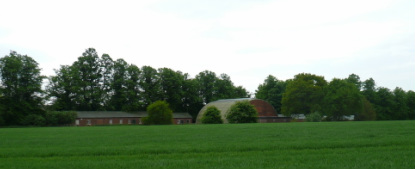
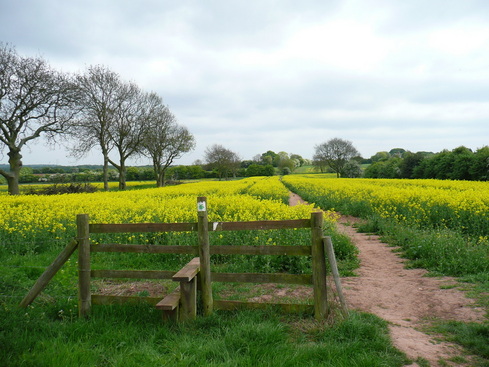
Passing South Lodge, the path headed out across fields and towards Welbeck Abbey. Pretty much every turn I passed was marked as private, although the path remained clear ahead.
Looked like a disused (WWII?) airfield just outside Welbeck.
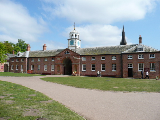
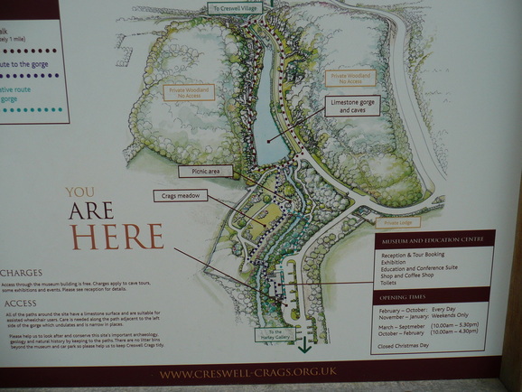
Pretty soon I reached the new visitor centre at Creswell Crags.
Pretty soon I reached the new visitor centre at Creswell Crags.
I didn't really have time for Archaeology, but I did make time for a coffee.
Unfortunately, as I sat down to enjoy it, I somehow managed to sit on the bite valve of my drinks system, and so had the misfortune of sitting in a large puddle on the plastic chair. It took a few miles for my shorts to dry.
Unfortunately, as I sat down to enjoy it, I somehow managed to sit on the bite valve of my drinks system, and so had the misfortune of sitting in a large puddle on the plastic chair. It took a few miles for my shorts to dry.
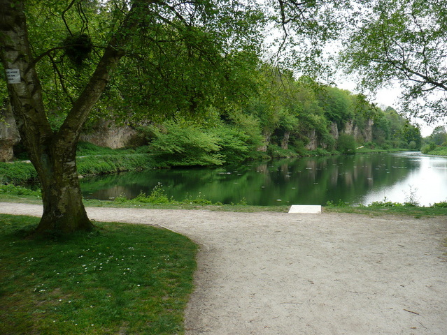
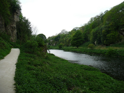
Climbing the crags is strongly discouraged, and the kid in the red was about to get an earbashing.
I stopped at this disused stile heading from Creswell to Holbeck to top up my snacks, empty a bottle of drink into my water system, and change my socks. 18 miles down, 8 planned miles to go.
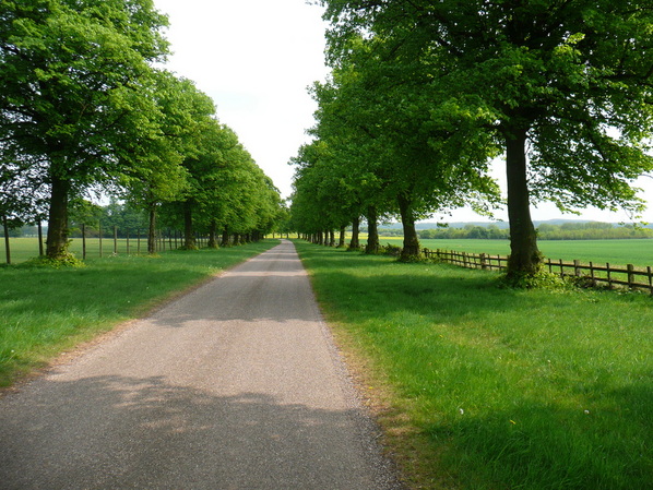
After Holbeck, I hooked up with what had the feeling of the driveway for a large house, presumably the Welbeck estate.
After Holbeck, I hooked up with what had the feeling of the driveway for a large house, presumably the Welbeck estate.
I bypassed Norton, and once again crossed the A616 between Cuckney and Budby.
Total route-finding fail. I picked up the wrong path just before the 24mile mark, and instead of heading directly back to the car, I speared out towards Meden Vale. I knew I was wrong when I reached a train line. My GPS watch battery had died without my realising, so I started a trace on my iPhone. I used Google maps to double check my position and the map to plan a route back. A short tantrum later, I was heading back towards Sherwood Forest.
I took a shorter route back, and was soon back to the car. 28.8 miles in 9hrs34. I little further than intended, especially as I am training to complete a 29mile walk in under 10hrs 30.
Some good highpoints on the walk, more than made up for the mishaps, even my discovery (at home) that my shorts had completely disintegrated at the rubbing points. And the blisters.
Some good highpoints on the walk, more than made up for the mishaps, even my discovery (at home) that my shorts had completely disintegrated at the rubbing points. And the blisters.
 RSS Feed